Chulichan | |
|---|---|
village | |
 Chulichan Location in Ladakh, India  Chulichan Chulichan (India) | |
| Coordinates: 34°39′48″N 76°18′54″E / 34.663323°N 76.315108°E | |
| Country | India |
| Union Territory | Ladakh |
| District | Kargil |
| Tehsil | Kargil |
| Area | |
| • Total | 1.2590 km2 (0.4861 sq mi) |
| Population (2011) | |
| • Total | 912 |
| • Density | 720/km2 (1,900/sq mi) |
| Languages | |
| • Official | Brokskat |
| Time zone | UTC+5:30 (IST) |
| PIN | 194103 |
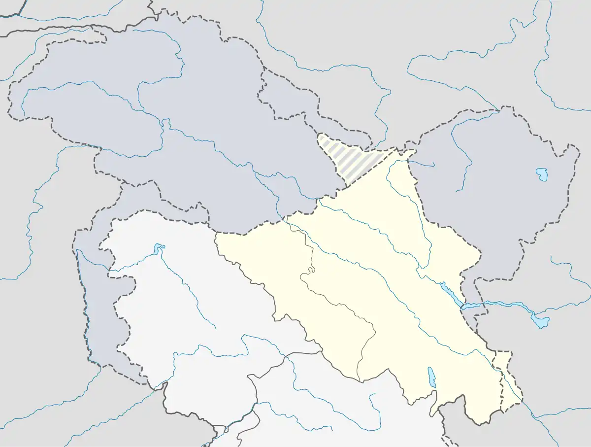
Chulichan[lower-alpha 1] is a village in the Kargil district of Ladakh, India, close to the Line of Control with Pakistan-administered Kashmir. It is populated by Shia Brokpas and Baltis. It is located east of Batalik in Aryan Valley (Dah Hanu valley) of Indus river system near Batalik.
Geography
Chulichan is on the left bank of the Indus River in a narrow section of Indus valley known as Brog Yul. It is the last village in Indian-administered Ladakh; the next village on the left bank, Natsara, is in Pakistan-administered Baltistan. Chulichan has an area of 125.90 hectares (1.2590 km2) and includes five hamlets: Groung Khril, Groung Stod-I, Groung Stod-II, Sharchey and Grongjuk.[3][4]
History
Historically, Chulichan and the adjacent regions were populated by Brokpa people — folklore maintains that they arrived at their current habitat from the Gilgit region.[5] The Brokpa chieftains wielded autonomy in the region, pledging nominal allegiance to the Maqpon rulers of Skardu.[5]
However, things changed in the seventeenth century when Jamyang Namgyal of Ladakh had a conflict with Ali Sher Khan Anchan of Skardu and had to accept Gurgurdho, a hamlet on the opposite bank of the Indus river, as a boundary between their territories.[5] Consequently, Chulichan and villages to the north of it, such as Ganokh and Marol, became part of Baltistan and influenced by Shia Islam.[5] When Robert Barkley Shaw visited the village in 1876, he found Baltis and Brokpas living there, professing Shia Islam.[6]
Nevertheless, the Brokpas of Chulichan historically entered into marriages with their ethnic kin in the Dah Hanu region of Ladakh; such connections would cease only with the latter's acceptance of Buddhism c. late nineteenth century.[5] In the aftermath of the First Kashmir War (1947–1948), with Pakistan annexing territories north of Chulichan, it became the only Brokpa village in India to be primarily composed of Muslims.
Demographics
According to the latest census of India (2011), the village has 912 inhabitants across 112 households.[3]
See also
Notes
References
- ↑ Kashmir & Jammu mapsheet 52-b, Survey of India, 1928.
- ↑ Bhan 2013, p. 31.
- 1 2 "Directorate of Census Operations, 2011" (PDF). p. 56.
- ↑ "Hamlet wise village detail". DISTRICT Statistics & Evaluation office Kargil, Ladakh.
- 1 2 3 4 5 Vohra, Rohit (1982). "Ethnographic Notes on the Buddhist Dards of Ladakh: The Brog-Pā". Zeitschrift für Ethnologie. 107 (1): 72, 81–82. ISSN 0044-2666.
- ↑ Shaw, R. B. (1878). Stray Arians in Tibet.
The village of Ganok is entirely inhabited by Musalman Brokpas, while those of Dangel, Marul, Chuli-chan, and singkarmo, are inhabited partly by Musalmun (Shi'ah) Brokpas, and partly by Baltis (Tibetan Musalmans) of the same sect.
- Sources
- Bhan, Mona (2013), Counterinsurgency, Democracy, and the Politics of Identity in India: From Warfare to Welfare?, Routledge, ISBN 978-1-134-50983-6