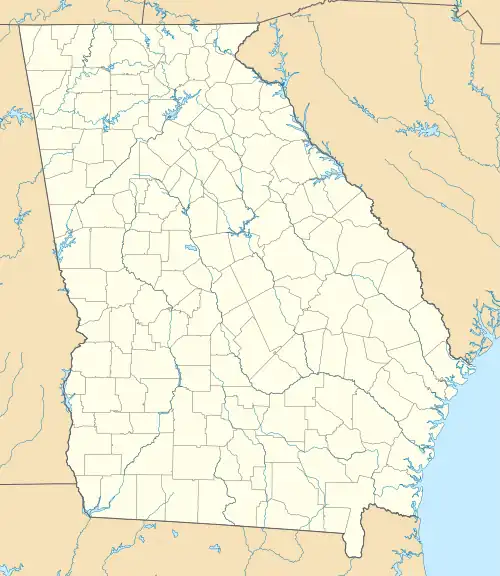
Chestnut Mountain, Georgia | |
|---|---|
 Chestnut Mountain  Chestnut Mountain | |
| Coordinates: 34°10′21″N 83°50′17″W / 34.17250°N 83.83806°W | |
| Country | United States |
| State | Georgia |
| County | Hall |
| Elevation | 1,132 ft (345 m) |
| Time zone | UTC-5 (Eastern (EST)) |
| • Summer (DST) | UTC-4 (EDT) |
| ZIP code | 30502[1] |
| Area code(s) | 770, 470, 678 |
| GNIS feature ID | 312629[2] |
Chestnut Mountain is an unincorporated community in Hall County, Georgia, United States. The community is located along Georgia State Route 53, 8.7 miles (14.0 km) south of Gainesville.
The community was named after J. T. Chestnut, a pioneer citizen.[3]
References
- ↑ United States Postal Service. "USPS - Look Up a ZIP Code". Retrieved May 25, 2015.
- ↑ "Chestnut Mountain". Geographic Names Information System. United States Geological Survey, United States Department of the Interior.
- ↑ Krakow, Kenneth K. (1975). Georgia Place-Names: Their History and Origins (PDF). Macon, GA: Winship Press. p. 42. ISBN 0-915430-00-2.
This article is issued from Wikipedia. The text is licensed under Creative Commons - Attribution - Sharealike. Additional terms may apply for the media files.
