Celt, Missouri | |
|---|---|
 Celt  Celt | |
| Coordinates: 37°52′33″N 92°54′06″W / 37.87583°N 92.90167°W | |
| Country | United States |
| State | Missouri |
| County | Dallas |
| Elevation | 755 ft (230 m) |
| Time zone | UTC-6 (Central (CST)) |
| • Summer (DST) | UTC-5 (CDT) |
| GNIS feature ID | 740731[1] |
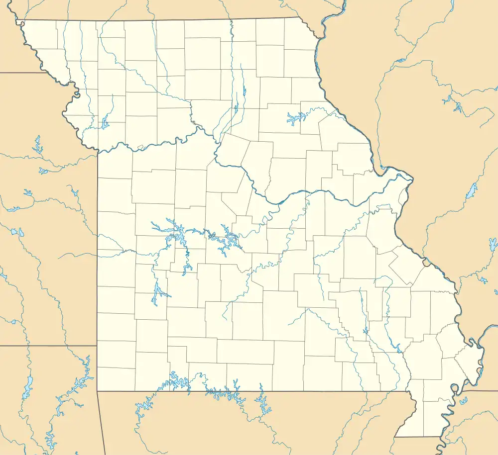
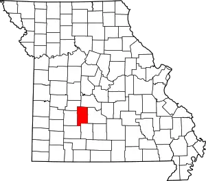
Celt is an unincorporated community in northeastern Dallas County, Missouri, United States.[1] It is located along Missouri Route E on the north bank of Mill Creek just over one mile west of that streams confluence with the Niangua River.[2] It is approximately 19 mi (31 km) northeast of Buffalo.
History
The settlement's name was furnished by the Postal Service when it established an office there in 1888. Celt is also called "Mill Creek" because four water mills were located nearby.[3]
The post office closed in 1968.[4]
The now-abandoned Celt School was located in the settlement in the early 1940s.[5]
Celt is part of the Springfield, Missouri Metropolitan Statistical Area.
References
- 1 2 3 U.S. Geological Survey Geographic Names Information System: Celt
- ↑ Macks Creek, MO, 7.5 Minute Topographic Quadrangle, USGS, 1982
- ↑ "Dallas County Place Names, 1928-1945". The State Historical Society of Missouri. Archived from the original on September 15, 2016. Retrieved September 14, 2016.
- ↑ Moser, Arthur Paul. "A Directory of Towns, Villages, and Hamlets Past and Present of Dallas County, Missouri". Springfield-Greene County Library. Retrieved September 14, 2016.
- ↑ U.S. Geological Survey Geographic Names Information System: Celt School (historical)
This article is issued from Wikipedia. The text is licensed under Creative Commons - Attribution - Sharealike. Additional terms may apply for the media files.
