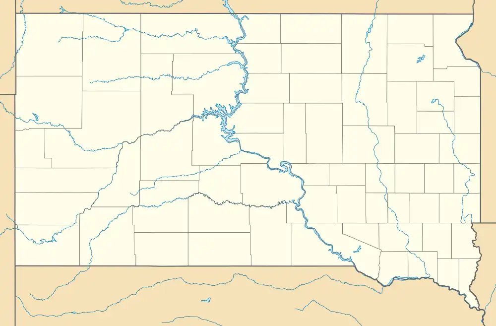
Carter, South Dakota | |
|---|---|
 Carter, South Dakota | |
| Coordinates: 43°23′14″N 100°12′09″W / 43.38722°N 100.20250°W | |
| Country | United States |
| State | South Dakota |
| County | Tripp |
| Elevation | 2,172 ft (662 m) |
| Time zone | UTC-6 (Central (CST)) |
| • Summer (DST) | UTC-5 (CDT) |
| Area code | 605 |
| GNIS feature ID | 1254257[1] |
Carter is an unincorporated community in Tripp County, South Dakota, United States. Carter is located on U.S. Route 18, west of Winner.
Carter was laid out in 1909, and most likely was named in honor of Jervis W. Carter, a land agent.[2]
References
- ↑ "US Board on Geographic Names". United States Geological Survey. October 25, 2007. Retrieved January 31, 2008.
- ↑ Federal Writers' Project (1940). South Dakota place-names, v.1-3. University of South Dakota. p. 30.
This article is issued from Wikipedia. The text is licensed under Creative Commons - Attribution - Sharealike. Additional terms may apply for the media files.
