Carpignano Salentino
| |
|---|---|
| Comune di Carpignano Salentino | |
Location of Carpignano Salentino | |
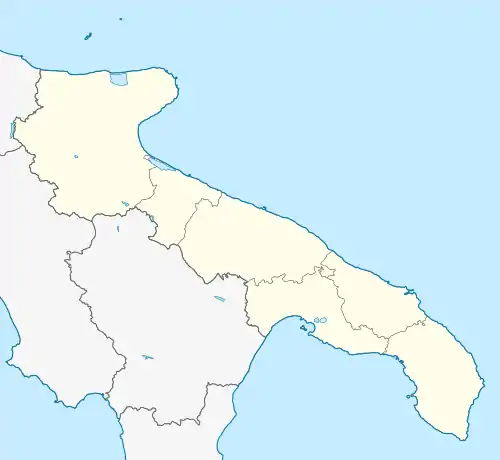
 Carpignano Salentino Location of Carpignano Salentino in Italy  Carpignano Salentino Carpignano Salentino (Apulia) | |
| Coordinates: 40°11′49.36″N 18°20′18.29″E / 40.1970444°N 18.3384139°E | |
| Country | Italy |
| Region | |
| Province | Lecce (LE) |
| Frazioni | Cannole, Castrignano de' Greci, Cursi, Martano, Melendugno, Otranto |
| Area | |
| • Total | 48 km2 (19 sq mi) |
| Elevation | 76 m (249 ft) |
| Population (November 2008)[2] | |
| • Total | 3,854 |
| • Density | 80/km2 (210/sq mi) |
| Demonym | Carpignanesi |
| Time zone | UTC+1 (CET) |
| • Summer (DST) | UTC+2 (CEST) |
| Postal code | 73020 |
| Dialing code | 0836 |
| ISTAT code | 075015 |
| Patron saint | Saint Antonio and the Madonna "della Grotta" |
| Saint day | 2–3 July |
| Website | Official website |
Carpignano Salentino (Salentino: Carpignanu) is a town and comune in the Italian province of Lecce in the Apulia region of south-east Italy. It includes the frazione of Serrano.
 Square
 Medieval walls
.jpg.webp) Byzantine church of Santa Marina in Stigliano, in the outlying area of Carpignano Salentino
Byzantine church of Santa Marina in Stigliano, in the outlying area of Carpignano Salentino
Wikimedia Commons has media related to Carpignano Salentino.
References
- ↑ "Superficie di Comuni Province e Regioni italiane al 9 ottobre 2011". Italian National Institute of Statistics. Retrieved 16 March 2019.
- ↑ Population from ISTAT
This article is issued from Wikipedia. The text is licensed under Creative Commons - Attribution - Sharealike. Additional terms may apply for the media files.
