Cappelle sul Tavo | |
|---|---|
| Comune di Cappelle sul Tavo | |
 | |
 Coat of arms | |
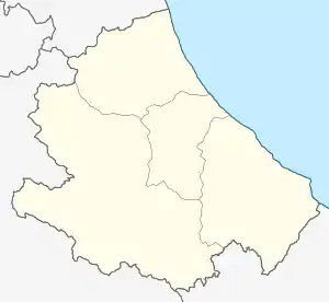
Location of Cappelle sul Tavo | |
 Cappelle sul Tavo Location of Cappelle sul Tavo in Italy  Cappelle sul Tavo Cappelle sul Tavo (Abruzzo) | |
| Coordinates: 42°28′N 14°06′E / 42.467°N 14.100°E | |
| Country | Italy |
| Region | Abruzzo |
| Province | Pescara (PE) |
| Frazioni | Staffieri |
| Area | |
| • Total | 5.46 km2 (2.11 sq mi) |
| Elevation | 122 m (400 ft) |
| Population (2007)[2] | |
| • Total | 3,835 |
| • Density | 700/km2 (1,800/sq mi) |
| Time zone | UTC+1 (CET) |
| • Summer (DST) | UTC+2 (CEST) |
| Postal code | 65010 |
| Dialing code | 085 |
| Patron saint | San Pasquale |
Cappelle sul Tavo (Abruzzese: Li Cappélle) is a comune and town in the Province of Pescara in the Abruzzo region of Italy.
History
Cappelle sul Tavo has been an independent municipality since 1906. Previously, it was part of the municipality of Montesilvano.
The name probably derives from a number of small "cappelle" (chapels) among the woods. The name "Cappelle" also appears in documents of the 11th and 12th centuries and is represented in the emblem of the town, showing two Gothic chapels.
- Images of Cappelle sul Tavo
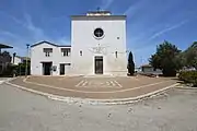
 The Church Beata Vergine Maria Lauretana
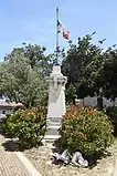
 World War I memorial
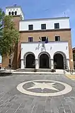
 town hall
References
- ↑ "Superficie di Comuni Province e Regioni italiane al 9 ottobre 2011". Italian National Institute of Statistics. Retrieved 16 March 2019.
- ↑ "Popolazione Residente al 1° Gennaio 2018". Italian National Institute of Statistics. Retrieved 16 March 2019.
This article is issued from Wikipedia. The text is licensed under Creative Commons - Attribution - Sharealike. Additional terms may apply for the media files.