Buharkent | |
|---|---|
District and municipality | |
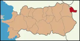
 Map showing Buharkent District in Aydın Province | |
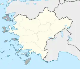
 Buharkent Location in Turkey  Buharkent Buharkent (Turkey Aegean) | |
| Coordinates: 37°57′42″N 28°44′32″E / 37.96167°N 28.74222°E | |
| Country | Turkey |
| Province | Aydın |
| Government | |
| • Mayor | Mehmet Erol (AKP) |
| Area | 124 km2 (48 sq mi) |
| Population (2022)[1] | 13,022 |
| • Density | 110/km2 (270/sq mi) |
| Time zone | TRT (UTC+3) |
| Postal code | 09670 |
| Area code | 0256 |
| Website | www |
Buharkent is a municipality and district of Aydın Province, Turkey.[2] Its area is 124 km2,[3] and its population is 13,022 (2022).[1] It is 86 km east of the city of Aydın, on the road and the railway line to Denizli.
The area is in the valley of the Büyük Menderes River with mountains to the north including the 1724 m Karlıkdede. The district is known for its hot springs and geothermal energy, indeed Turkey's first geothermal power station was built here in 1984. However the local economy depends on agriculture especially cotton, figs and grapes.
The name Buharkent means steam city and was given in recognition of the power station, it was previously called Burhaniye.
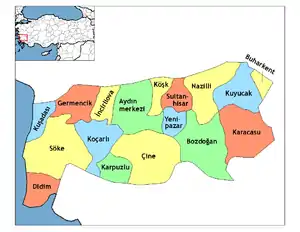
Composition
There are 14 neighbourhoods in Buharkent District:[4]
References
- 1 2 "Address-based population registration system (ADNKS) results dated 31 December 2022, Favorite Reports" (XLS). TÜİK. Retrieved 12 July 2023.
- ↑ Büyükşehir İlçe Belediyesi, Turkey Civil Administration Departments Inventory. Retrieved 12 July 2023.
- ↑ "İl ve İlçe Yüz ölçümleri". General Directorate of Mapping. Retrieved 12 July 2023.
- ↑ Mahalle, Turkey Civil Administration Departments Inventory. Retrieved 12 July 2023.
External links
- the municipality (in Turkish)
This article is issued from Wikipedia. The text is licensed under Creative Commons - Attribution - Sharealike. Additional terms may apply for the media files.
