Buchan Airport | |||||||||||
|---|---|---|---|---|---|---|---|---|---|---|---|
| Summary | |||||||||||
| Airport type | Public | ||||||||||
| Owner/Operator | Sarasota County | ||||||||||
| Location | Englewood | ||||||||||
| Opened | December 1949 | ||||||||||
| Elevation AMSL | 15 ft / 5 m | ||||||||||
| Coordinates | 26°59′24″N 82°22′26″W / 26.99000°N 82.37389°W | ||||||||||
| Map | |||||||||||
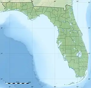
 X36 Location in Florida  X36 X36 (the United States) | |||||||||||
| Runways | |||||||||||
| |||||||||||
Buchan Airport (FAA LID: X36) is a public airport located in Englewood, Florida, United States, and operated/owned by Sarasota County.
History
Before Buchan Airport was built, Hygeia, a subdivision consisting of approximately 100 acres (40 ha), was planned to be built during the late 1920s.[2] A plat for the subdivision was filed with Sarasota County on April 21, 1925. The subdivision never broke ground due to the end of the Florida land boom of the 1920s.
In April 1949, Sarasota County bought 93 acres (38 ha) of the land for $100 (equivalent to $980 in 2022) in back taxes with help from former county commissioner Peter E. Buchan, to build an airport.[3]
The airport helped facilitate aerial spraying for the county's mosquito eradication program.[2][4]
See also
References
- ↑ FAA Airport Form 5010 for X36 PDF. Federal Aviation Administration. Effective July 19, 2018.
- 1 2 "Buchan Airport". Sarasota History Alive!. Retrieved July 25, 2018.
- ↑ Harris, Diana (October 27, 2018). "Find pioneer family names all over Englewood". Englewood Sun. Retrieved December 21, 2018.
- ↑ "Englewood History". Lemon Bay Historical Society. Retrieved July 25, 2018.
External links
- Resources for this airport:
- FAA airport information for X36
- AirNav airport information for X36
- FlightAware airport information and live flight tracker
- SkyVector aeronautical chart for X36