Bozataw district
Бозатаў районы, Bozataw rayonı | |
|---|---|
| Bozataw district | |
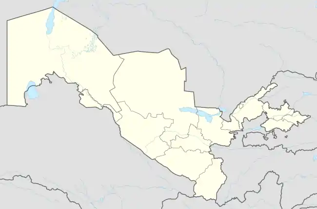
 Bozataw district Location in Uzbekistan | |
| Coordinates: 43°01′N 59°21′E / 43.02°N 59.35°E | |
| Country | |
| Autonomous Republic | Karakalpakstan |
| Capital | Bozataw |
| Established | 2019 |
| Area | |
| • Total | 2,040 km2 (790 sq mi) |
| Population (2022) | |
| • Total | 21,800 |
| • Density | 11/km2 (28/sq mi) |
| Time zone | UTC+5 (UZT) |
Bozataw district (Karakalpak: Бозатаў районы, Bozataw rayonı) is a district of Karakalpakstan in Uzbekistan. The seat lies at the urban-type settlement Bozataw.[1] It was created in September 2019 from parts of the Kegeyli district and the Shimbay district.[2] Its area is 2,040 km2 (790 sq mi)[3] and it had 21,800 inhabitants in 2022.[4]
The district contains one town Bozataw and four village councils Aspantay, Erkindarya, Kok-suw and Qusqanataw.[1]
References
- 1 2 "Classification system of territorial units of the Republic of Uzbekistan" (in Uzbek and Russian). The State Committee of the Republic of Uzbekistan on statistics. July 2020.
- ↑ "About creation of Boʻzatov district of the Republic of Karakalpakstan" (in Uzbek). 5 September 2019.
- ↑ "Qoraqalpog'iston Respublikasining ma'muriy-hududiy bo'linishi" [Administrative-territorial division of the Republic of Karakalpakstan] (PDF) (in Uzbek). Karakalpakstan Republic department of statistics.
- ↑ "Hududlar bo'yicha shahar va qishloq aholisi soni" [Urban and rural population by district] (PDF) (in Uzbek). Karakalpakstan Republic department of statistics.
This article is issued from Wikipedia. The text is licensed under Creative Commons - Attribution - Sharealike. Additional terms may apply for the media files.
