| Bould | |
|---|---|
 Lower Farm, Bould | |
 Bould Location within Oxfordshire | |
| OS grid reference | SP2420 |
| Civil parish | |
| District | |
| Shire county | |
| Region | |
| Country | England |
| Sovereign state | United Kingdom |
| Post town | Chipping Norton |
| Postcode district | OX7 |
| Police | Thames Valley |
| Fire | Oxfordshire |
| Ambulance | South Central |
| UK Parliament | |
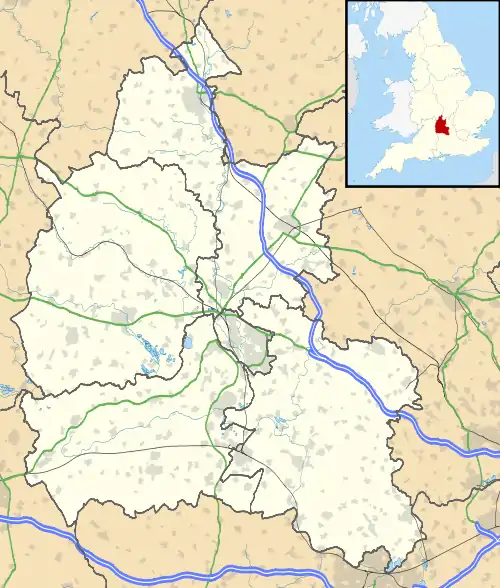
Bould is a hamlet in Idbury civil parish, Oxfordshire,[1] about 4.5 miles (7.2 km) southeast of Stow-on-the-Wold in neighbouring Gloucestershire. The hamlet is near the Bould Wood.[1]
References
- 1 2 Gelling, Margaret (1954). The Place-names of Oxfordshire. Pennsylvania State University Press. pp. 357, 495.
External links
![]() Media related to Bould at Wikimedia Commons
Media related to Bould at Wikimedia Commons
This article is issued from Wikipedia. The text is licensed under Creative Commons - Attribution - Sharealike. Additional terms may apply for the media files.
