| Black Cap Mountain | |
|---|---|
 Black Cap Mountain Penobscot County, Maine, U.S. | |
| Highest point | |
| Elevation | 1,020 ft (310 m) |
| Prominence | 570 ft (170 m) |
| Coordinates | 44°45′13″N 68°33′58″W / 44.753611°N 68.566111°W |
| Geography | |
| Location | Penobscot County, Maine, U.S. |
| Climbing | |
| Easiest route | Hiking, class 1 |
.jpg.webp)
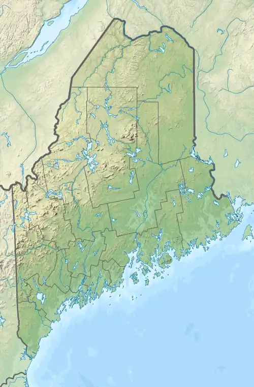
Black Cap Mountain is a 1,020 foot (310 m) mountain in Penobscot County, Maine, United States.[1] The mountain is 5 miles (8.0 km) southeast of Eddington, Maine, and the Penobscot River.[2] It is accessible from Maine Route 46, near its intersection with The Airline (State Route 9).
The mountain is named for its granite peak, which is mostly bare with a few scrubby trees. From the mountain there is a panoramic view of western Maine, the Western Maine Mountains, and the eastern portion of the White Mountain National Forest.[3]
Background
Black Cap consists of a range of hills, approximately 1.5 miles (2.4 km) long, with an average breadth of 0.5 miles (0.80 km) wide.[2] Both Boy Scout Camp Roosevelt and Fitts Pond sit at the base of the mountain.[4] The summit is home to a number of microwave,[5] radio and television broadcasting antennas, including WMEH of Maine Public Radio.[6]
The mountain is prominent in the area and is part of the southeastern vista of Bangor.[7] It can also be seen from the Penobscot Bay and the sea.[8] The area around the mountain has been affected by several natural disasters. The 1938 New England hurricane leveled the surrounding forest,[9] and a spruce forest was planted in its place.[3] The mountain also has beech trees and blueberry bushes. The latter began to grow after a series of forest fires swept through the area in the 1800s clearing the forest and opening the land.[3]
The Katahdin Area Council, owners of the 1,800 acres (730 ha) Camp Roosevelt,[10] own two-thirds of the mountain. Private landholders own the rest of the land, with energy company Emera owning one acre on the summit of the mountain for a radio tower.[11]
Recreation
The mountain has a popular hiking trail, whose trailhead adjoins the parking lot for Camp Roosevelt.[12][13]
See also
References
- ↑ "Blackcap Mountain - Peakbagger.com". peak bagger.
- 1 2 Williams, Chase. History of Penobscot County, Maine. p. 33. ISBN 9785873772766.
- 1 2 3 "Hiking options" (PDF). Cranmore Inn. Retrieved April 17, 2020.
- ↑ "Camping". Katahdin Area Council. BSA. Retrieved April 16, 2020.
- ↑ US Army Engineer Division (July 1981). "Environmental Impact Statement". Dickey-Lincoln School Lakes Project (ME,NH,VT,Que). Waltham, MA. 1.
- ↑ Gagnon, Dawn (February 18, 2016). "Eddington tower maintenance interrupts Maine Public Radio signal". Bangor Daily News.
- ↑ Chase, W. History of Penobscot County, Maine. p. 333. ISBN 978-1297507625.
- ↑ "Historical and Archaeological Resources" (PDF). Comprehensive Plan. Town of Eddington: B-1. October 2002.
- ↑ Lefebvre, Paul (October 19, 2016). "How a hurricane changed New England's forests" (PDF). The Chronicle. Barton, Vermont. pp. B1.
review of book: "Thirty-Eight, The Hurricane that Transformed New England", by Stephen Long 2016
- ↑ "Camp Roosevelt" (PDF). Bangor Daily News Special Advertising Section. July 22, 2016. p. 2. Retrieved May 4, 2020.
- ↑ "WNVV552". FCC. Retrieved May 4, 2020.
- ↑ "BLACKCAP MOUNTAIN AND FITTS POND, EDDINGTON". Maine by Foot. December 2, 2019.
- ↑ John (September 5, 2013). "Blackcap Mountain". Hiking in Maine with Kelley.
External links
- Aislinn Sarnacki (February 14, 2012). "1-minute hike: Blackcap Mountain, East Eddington, Maine". Act Out with Aislinn.
- "Overnight Search in Eddington". Maine Department of Inland Fisheries and Wildlife. February 22, 2014.
- Carey Kish (November 13, 2017). "HIKING IN MAINE: AIRLINE ROAD IS BOUNTIFUL FOR HIKERS".