Bijoynagar | |
|---|---|
Town | |
| Nickname: Nogor | |
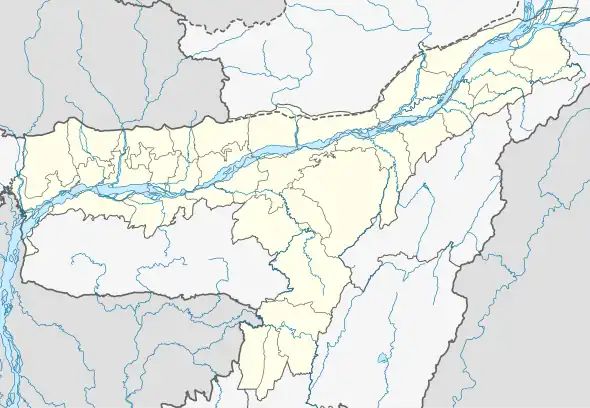
 Bijoynagar Location in Assam, India  Bijoynagar Bijoynagar (India) | |
| Coordinates: 26°06′05″N 91°30′21″E / 26.1014°N 91.5059°E | |
| Country | Guwahati |
| State | Assam |
| District | Kamrup |
| Government | |
| • Type | Municipality corporation Guwahati |
| Population (59% Hindus, 39.45% Muslim, 1.55% Jain) | |
| • Total | 100,000 |
| Languages | |
| • Official | Assamese
Unofficial Marwari, Bhojpuri, Hindi, Urdu |
| Time zone | UTC+5:30 (IST) |
| PIN | 781122 |
| Vehicle registration | AS |
| Website | kamrup |
Bijoynagar is a town in the Kamrup district. It is on the south bank of the river Brahmaputra.[1] [2]
Transport
Bijoynagar is located on National Highway 17 and is well together with Guwahati and other nearby towns with both government and private commercial vehicles.
Religion
Religion
As of the 2021 census, 39.45% of the population are Hindus, Muslims are 39.45% and Jain are 1.55%.
Education
- Amrit Chandra Thakuria Commerce College
- Haligaon High Madrasa School
- Uparhali Higher Secondary School
- Sarpara Gangapukhuri LP School
- Sarpara Girl's High School
- Sarpara Madrasa High School
- Faculty Public English Medium School
- Benison CBSE School
- Dibyojyoti School
- Assam Jatiya bidyalay School
- Uparhali Girl's High School
- Kidzee school
See also
References
- ↑ "Bijoynagar". indiamapia.com. Retrieved 30 December 2012.
- ↑ "Bijoynagar PinCode". pincode.org.in. Retrieved 19 August 2015.
This article is issued from Wikipedia. The text is licensed under Creative Commons - Attribution - Sharealike. Additional terms may apply for the media files.