Belle Mina, Alabama | |
|---|---|
 Post Office in Belle Mina | |
 Belle Mina  Belle Mina | |
| Coordinates: 34°39′24″N 86°52′45″W / 34.65667°N 86.87917°W | |
| Country | United States |
| State | Alabama |
| County | Limestone |
| Elevation | 600 ft (183 m) |
| Population (2020 estimate) | |
| • Total | 113 |
| Time zone | UTC-6 (Central (CST)) |
| • Summer (DST) | UTC-5 (CDT) |
| ZIP code | 35615 |
| Area code | 256 |
| GNIS feature ID | 151675[1] |
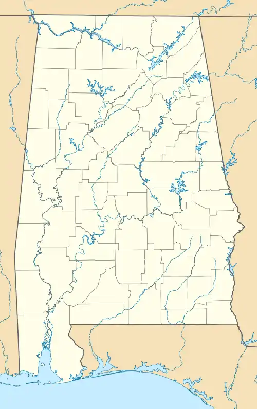
Belle Mina is an unincorporated community in southeastern Limestone County, Alabama, United States. As of 2020 the population was estimated to be around 113 people. The town center is aproximently 1 mile away from Mazda Toyota Manufacturing, U.S.A., Inc, which is the only facility in North America to produce the Corolla Cross.[2]
The city has many homes, a volunteer fire department, a post office,[3] and is home to the South Limestone Cotton Mill.[4]
History
The community of Belle Mina was named for the plantation of the same name that belonged to Governor Thomas Bibb, the second governor of the state of Alabama. It was originally called "Belle Manor", but because of southern pronunciation, the spelling changed over time. The name is derived from the French word "belle", meaning "beautiful". The plantation was situated along the Southern Railroad, and there was a station at or near the plantation. A post office was established in Belle Mina in 1878.[5] The community served as the rail stop for Mooresville.


References
- ↑ "Belle Mina". Geographic Names Information System. United States Geological Survey, United States Department of the Interior.
- ↑ Hannon, Danielle (May 5, 2023). "10 Things to Know About Mazda Toyota Manufacturing". Toyota USA Newsroom. Retrieved December 31, 2023.
- ↑ "Post Office in Belle Mina, AL - Hours and Location". www.postallocations.com. Retrieved December 31, 2023.
- ↑ "South Limestone Co-Operative in Belle Mina , AL". YP.com. Retrieved December 31, 2023.
- ↑ Foscue, Virginia. Place Names in Alabama. University: U of Alabama Press, 1989.
34°39′16″N 86°52′46″W / 34.6544°N 86.8794°W
