| Beaver River | |
|---|---|
 Mouth of the Beaver River | |
| Location | |
| Country | United States |
| State | Minnesota |
| County | Lake County |
| Physical characteristics | |
| Source | |
| • location | Cloquet Lake |
| • coordinates | 47°23′32″N 91°28′26″W / 47.3921404°N 91.4737749°W |
| Mouth | |
• location | Silver Bay, Minnesota, Lake Superior |
• coordinates | 47°15′33″N 91°17′35″W / 47.2590891°N 91.2929435°W |
| Length | 23.4-mile-long (37.7 km) |
| Basin features | |
| Tributaries | |
| • left | East Branch Beaver River |
| • right | Kit Creek, Big Thirty-Nine Creek |
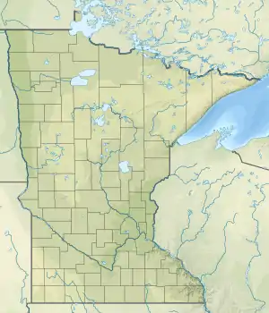
The Beaver River is a 23.4-mile-long (37.7 km)[1] river in Lake County, Minnesota. It flows into Lake Superior.[2]
Habitat
Portions of Beaver River are designated trout streams with populations of brook, brown, and rainbow trout.[3][4]
See also
References
- ↑ U.S. Geological Survey. National Hydrography Dataset high-resolution flowline data. The National Map Archived 2012-03-29 at the Wayback Machine, accessed May 7, 2012
- ↑ U.S. Geological Survey Geographic Names Information System: Beaver River
- ↑ "Northern Minnesota Fishing Guide" (PDF). Minnesota Department of Natural Resources. Retrieved April 2, 2021.
- ↑ "Northeast Minnesota Maps" (PDF). Minnesota DNR. Retrieved April 2, 2021.
- "Minnesota Watersheds". Minnesota DNR.
- USGS Hydrologic Unit Map - State of Minnesota. USGS. 1974.
This article is issued from Wikipedia. The text is licensed under Creative Commons - Attribution - Sharealike. Additional terms may apply for the media files.