Beardstown | |
|---|---|
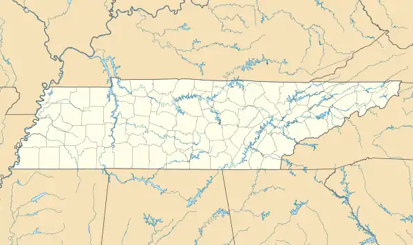
 Beardstown Location within the state of Tennessee  Beardstown Beardstown (the United States) | |
| Coordinates: 35°42′44″N 87°47′57″W / 35.71222°N 87.79917°W | |
| Country | United States |
| State | Tennessee |
| County | Perry |
| Elevation | 512 ft (156 m) |
| Time zone | UTC-6 (Central (CST)) |
| • Summer (DST) | UTC-5 (CDT) |
| GNIS feature ID | 1276650[1] |
Beardstown is an unincorporated community located entirely within the city limits of Lobelville, Tennessee.
History
Beardstown was formerly host to an elementary school, post office, and a store. The school was established in 1900, originally housed in a white frame building that was replaced by a modern brick structure with school rooms and a combined gymnasium and cafeteria in 1946. The school closed in 1988 with the consolidation of public schools in Perry County as one of the last one or two teacher community schools left in the state. [2]
In 1864, a skirmish known as the Battle of Beardstown was fought partly in an area currently occupied by a golf course in Beardstown between Confederate and Union forces during the American Civil War.[3]
The 1876 edition of R. L. Polk and Co.'s Tennessee State Gazetteer reported Beardstown as the second largest settlement in Perry County, after Linden. At the time, it had a population of about 100 inhabitants, and was home to three grocers, three blacksmiths, a carpenter's shop, a general store, and a hotel.[4]
References
- ↑ "Beardstown, Tennessee". Geographic Names Information System. United States Geological Survey, United States Department of the Interior. Retrieved December 28, 2023.
- ↑ Kollar, Robert (May 14, 1974). "Chalk Up 2-Teacher School That Stayed". The Tennessean. Retrieved November 20, 2023.
- ↑ "The Battle of Beardstown". Lobelville, Tennessee. City of Lobelville. 2010. Archived from the original on June 17, 2016. Retrieved May 19, 2016.
- ↑ Tennessee State Gazetteer and Business Directory. Nashville: R. L. Polk & Co. 1876.