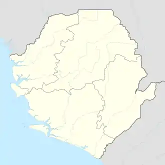
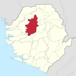
Batkanu | |
|---|---|
 Batkanu Location in Sierra Leone | |
| Coordinates: 09°05′00″N 12°25′00″W / 9.08333°N 12.41667°W | |
| Country | |
| Province | Northern Province |
| District | Bombali District |
| Chiefdom | Libeisaygahun |
| Elevation | 112 ft (34 m) |
| Time zone | UTC+0 (GMT) |
Batkanu is a village and seat of the chiefdom of Libeisaygahun in Bombali District in the Northern Province of Sierra Leone.
Geographic facts
Latitude: 9.0833, Longitude: -12.4167, Elevation: 114 feet (35 meters).
Climate
Like almost all of Sierra Leone, Batkanu has a tropical monsoon climate (Köppen Am) with very warm to hot temperatures year-round, a short though very pronounced dry season from December to March, and a long, very rainy wet season from April to November. Batkanu’s climate is less extreme than coastal locations like Freetown or Conakry, with the wettest months receiving less than 500 millimetres or 20 inches as against over 1,000 millimetres or 40 inches at those coastal cities.
| Climate data for Batkanu | |||||||||||||
|---|---|---|---|---|---|---|---|---|---|---|---|---|---|
| Month | Jan | Feb | Mar | Apr | May | Jun | Jul | Aug | Sep | Oct | Nov | Dec | Year |
| Mean daily maximum °C (°F) | 33 (91) |
35 (95) |
36 (96) |
35 (95) |
34 (93) |
32 (89) |
29 (84) |
28 (82) |
30 (86) |
32 (89) |
33 (91) |
32 (89) |
32 (89) |
| Mean daily minimum °C (°F) | 20 (68) |
21 (69) |
22 (71) |
22 (71) |
22 (71) |
21 (69) |
21 (69) |
21 (69) |
21 (69) |
21 (69) |
21 (69) |
20 (68) |
21 (69) |
| Average rainfall mm (inches) | 2.5 (0.1) |
5.1 (0.2) |
25 (1) |
94 (3.7) |
230 (8.9) |
390 (15.2) |
450 (17.6) |
480 (18.8) |
470 (18.4) |
410 (16.2) |
180 (6.9) |
18 (0.7) |
2,730 (107.5) |
| Source: Weatherbase [1] | |||||||||||||
Images
References
- ↑ "Weatherbase: Historical Weather for Batkanu, Sierra Leone". Weatherbase. 2011. Retrieved on November 24, 2011.
This article is issued from Wikipedia. The text is licensed under Creative Commons - Attribution - Sharealike. Additional terms may apply for the media files.
