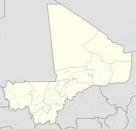
Baramba | |
|---|---|
Village | |
 Baramba Location in Mali | |
| Coordinates: 12°35′5″N 5°27′10″W / 12.58472°N 5.45278°W | |
| Country | |
| Region | Sikasso Region |
| Cercle | Koutiala Cercle |
| Commune | Nampé |
| Elevation | 312 m (1,024 ft) |
| Time zone | UTC+0 (GMT) |
Baramba is a village and administrative centre (chef-lieu) of the commune of Nampé in the Cercle of Koutiala in the Sikasso Region of southern Mali.[1][lower-alpha 1] The village is 25 km north of Koutiala.
The French explorer René Caillié stopped at Baramba on 18 February 1828 on his journey to Timbuktu. He was travelling with a caravan transporting kola nuts to Djenné. In his book Travels through Central Africa to Timbuctoo published in 1830, he refers to the village as Bamba.[2] Caillié wrote:
After proceeding four miles we halted at the village of Bamba, which is shaded by boababs. At the market I observed that women wore glass rings in the nose; and some had these ornaments made of gold or copper. This village contains three to four hundred inhabitants.[3]
The route of Caillié's caravan passed a few kilometers to the west of what is now the town of Koutiala. The town did not exist at the time: it was founded at the end of the 19th century by the French army after the conquest.[2]
Notes
- ↑ Written as Barhamba on the 1:200,000 Koutiala map issued by the French Institut Geographique National (IGN) in 1970.
References
- ↑ Communes de la Région de Sikasso (PDF) (in French), Ministère de l’administration territoriale et des collectivités locales, République du Mali, archived from the original (PDF) on 3 December 2013.
- 1 2 Viguier 2008, p. 60.
- ↑ Caillié 1830, p. 425.
Sources
- Caillié, René (1830). Travels through Central Africa to Timbuctoo; and across the Great Desert, to Morocco, performed in the years 1824-1828 (Volume 1). London: Colburn & Bentley.
- Viguier, Pierre (2008). Sur les Traces de René Caillié: Le Mali de 1828 Revisité. Versailles, France: Quae. ISBN 978-2-7592-0271-3..
