| Baltoro Kangri | |
|---|---|
 Gasherbrum IV, VII, VI and Baltoro Kangri on the right | |
| Highest point | |
| Elevation | 7,312 m (23,990 ft)[1] |
| Prominence | 1,040 m (3,410 ft)[2] |
| Listing | |
| Coordinates | 35°38′45″N 76°39′56″E / 35.64572°N 76.66567°E[1] |
| Naming | |
| Native name | بلتورو کنگری (Urdu) |
| Geography | |
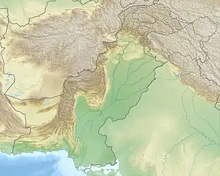
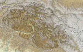
 Baltoro Kangri Location in Gilgit-Baltistan  Baltoro Kangri Baltoro Kangri (Gilgit Baltistan) | |
| Country | Pakistan |
| Region | Gilgit-Baltistan |
| District | Skardu |
| Parent range | Karakoram |
| Climbing | |
| First ascent | August 4, 1963[3] |
| Baltoro Kangri | |||
|---|---|---|---|
| Simplified Chinese | 巴托羅崗日峰 | ||
| |||
Baltoro Kangri (Urdu: بلتورو کنگری also known as the Golden Throne) is a mountain of the Karakoram mountain range in Gilgit-Baltistan, Pakistan. Baltoro Kangri is the 82nd highest mountain in the world with an elevation of 7,312 metres (23,990 ft). It lies to the south of the Gasherbrums and east of Chogolisa Peak (7,665 m). The huge Baltoro Glacier (which is one of the largest glaciers outside polar regions) rises from the foot of Baltoro Kangri. On the northern side of Baltoro Kangri lies the Abruzzi Glacier.
In 1963, a Japanese expedition made the first ascent of Baltoro Kangri. The expedition consisted of nine members from the Tokyo University Ski Alpine Club, which was led by Seihei Kato.[3]
See also
References
- 1 2 "Topographic map of Baltoro Kangri". opentopomap.org. Retrieved 2023-05-24.
- ↑ "Baltoro Kangri, Pakistan". Peakbagger.com. Retrieved 2011-11-14.
- 1 2 Kato, Seihei (1964). "Asia, Pakistan, Baltoro Kangri". Climbs And Expeditions. American Alpine Journal. New York, NY, USA: American Alpine Club. 14 (1): 231. Retrieved 2016-06-24.
External links
- "Baltoro Kangri Weather forecast". mountain-forecast.com.
This article is issued from Wikipedia. The text is licensed under Creative Commons - Attribution - Sharealike. Additional terms may apply for the media files.