| Aymestrey | |
|---|---|
 St John the Baptist and St Alkmund's Church, Aymestrey | |
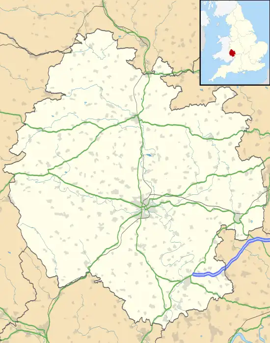
 Aymestrey Location within Herefordshire | |
| Population | 351 (2011 Census) |
| District | |
| Shire county | |
| Region | |
| Country | England |
| Sovereign state | United Kingdom |
| Post town | Leominster |
| Postcode district | HR6 |
| Police | West Mercia |
| Fire | Hereford and Worcester |
| Ambulance | West Midlands |
| UK Parliament | |
Aymestrey ( /ˈeɪmstriː/ AYM-stree) is a village and civil parish in north-western Herefordshire, England. The population of this civil parish, including the hamlet of Yatton, at the 2011 Census was 351.[1]
Location
It is located on the A4110 road, about 7 miles north-west of Leominster and 8 miles south-west of the historic market town of Ludlow, in south Shropshire. The village is on the River Lugg.
Amenities and history
Aymestrey is home to several homes and cottages,[2] the church dedicated to St John the Baptist and St Alkmund,[3][4] a village hall[5] and a pub or Inn: The Riverside Inn,[6] situated next to River Lugg[7] just off the main road.
The Mortimer Trail[8] waymarked recreational walk passes through the village.

In 1987, the Aymestrey burial, an Early Bronze Age, beaker cist, was discovered during gravel working.[9] It has since been recreated at Leominster Museum.
In fiction
Aymestrey is featured in the supernatural crime novel Foxglove Summer by Ben Aaronovitch, where it is described as being "less a village than a diorama of the last six hundred years of English vernacular architecture stretched along either side of the road.”
References
- ↑ "Civil Parish population 2011". Retrieved 27 October 2015.
- ↑ https://www.geograph.org.uk/photo/219784 geograph.org.uk
- ↑ An Inventory of the Historical Monuments in Herefordshire, Volume 3 (North West), pp 9-15, HMSO, 1934, http://www.british-history.ac.uk/rchme/heref/vol3
- ↑ https://www.geograph.org.uk/photo/635376 geograph.org.uk
- ↑ https://www.geograph.org.uk/photo/219796 geograph.org.uk
- ↑ https://www.geograph.org.uk/photo/219810 geograph.org.uk
- ↑ https://www.geograph.org.uk/photo/219775 geograph.org.uk
- ↑ https://www.geograph.org.uk/photo/71159 geograph.org.uk
- ↑ "Herefordshire Through Time - Monument Detail". Herefordshire County Council. Archived from the original on 14 July 2014. Retrieved 13 July 2014.
External links
- http://www.Aymestrey.org - Aymestrey Community Website
- https://web.archive.org/web/20170704022837/http://www.theriversideinn.org/ - The Riverside Inn at Aymestrey
- Aymestrey on Google Maps: Hybrid, Map
- Aymestrey in the Domesday Book
52°17′N 2°50′W / 52.283°N 2.833°W