Aunegrenda | |
|---|---|
Village | |
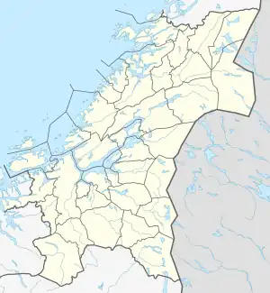
 Aunegrenda Location of the village  Aunegrenda Aunegrenda (Norway) | |
| Coordinates: 62°57′08″N 11°15′27″E / 62.9521°N 11.2575°E | |
| Country | Norway |
| Region | Central Norway |
| County | Trøndelag |
| District | Gauldalen |
| Municipality | Holtålen |
| Elevation | 470 m (1,540 ft) |
| Time zone | UTC+01:00 (CET) |
| • Summer (DST) | UTC+02:00 (CEST) |
| Post Code | 7383 Haltdalen |
Aunegrenda is a village in the municipality of Holtålen in Trøndelag county, Norway. The village is located about 7 kilometres (4.3 mi) northeast of the village of Haltdalen, and it is the location of Aunegrenda Chapel. Aunegrenda lies 6,990 km north of the equator and 571 km east of the prime meridian.[2] Most of the 50 residents of the village work in agriculture or commute to other places to work.
References
- ↑ "Aunegrenda, Holtålen (Trøndelag)". yr.no. Archived from the original on 2018-01-21. Retrieved 2018-01-16.
- ↑ "Aunegrenda, Norway - Facts and information on Aunegrenda - Norway.Places-in-the-world.com". norway.places-in-the-world.com. Retrieved 2023-05-30.
This article is issued from Wikipedia. The text is licensed under Creative Commons - Attribution - Sharealike. Additional terms may apply for the media files.