Andresito | |
|---|---|
Village | |
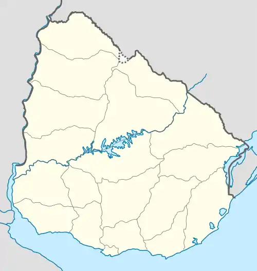
 Andresito Location in Uruguay | |
| Coordinates: 33°8′0″S 57°9′55″W / 33.13333°S 57.16528°W | |
| Country | |
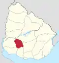
| Department | Flores Department |
| Population (2011) | |
| • Total | 261 |
| Time zone | UTC -3 |
| Postal code | 85002 |
| Dial plan | +598 436 (+5 digits) |
Andresito is a village in the north of Flores Department of Uruguay.
Geography
It is located on Km. 238 of Route 3 and close to its junctions with Route 14.
A bridge passes Route 3 over Arroyo Grande to national park Parque Bartolomé Hidalgo 5 kilometres (3.1 mi) northwest from the village and then, after another 2 kilometres (1.2 mi), another bridge passes it over Río Negro into Río Negro Department. Both rivers discharge into Lake Paso del Palmar at this point.
Population
In 2011 Andresito had a population of 261.[1]
| Year | Population |
|---|---|
| 1963 | 135 |
| 1975 | 125 |
| 1985 | 176 |
| 1996 | 140 |
| 2004 | 271 |
| 2011 | 261 |
Source: Instituto Nacional de Estadística de Uruguay[2]
See also
References
- ↑ "Censos 2011 Flores (needs flash plugin)". INE. 2012. Archived from the original on 3 June 2013. Retrieved 25 August 2012.
- ↑ "1963–1996 Statistics / A". Instituto Nacional de Estadística de Uruguay. 2004. Archived from the original (DOC) on 21 July 2011. Retrieved 27 June 2011.
External links
This article is issued from Wikipedia. The text is licensed under Creative Commons - Attribution - Sharealike. Additional terms may apply for the media files.
