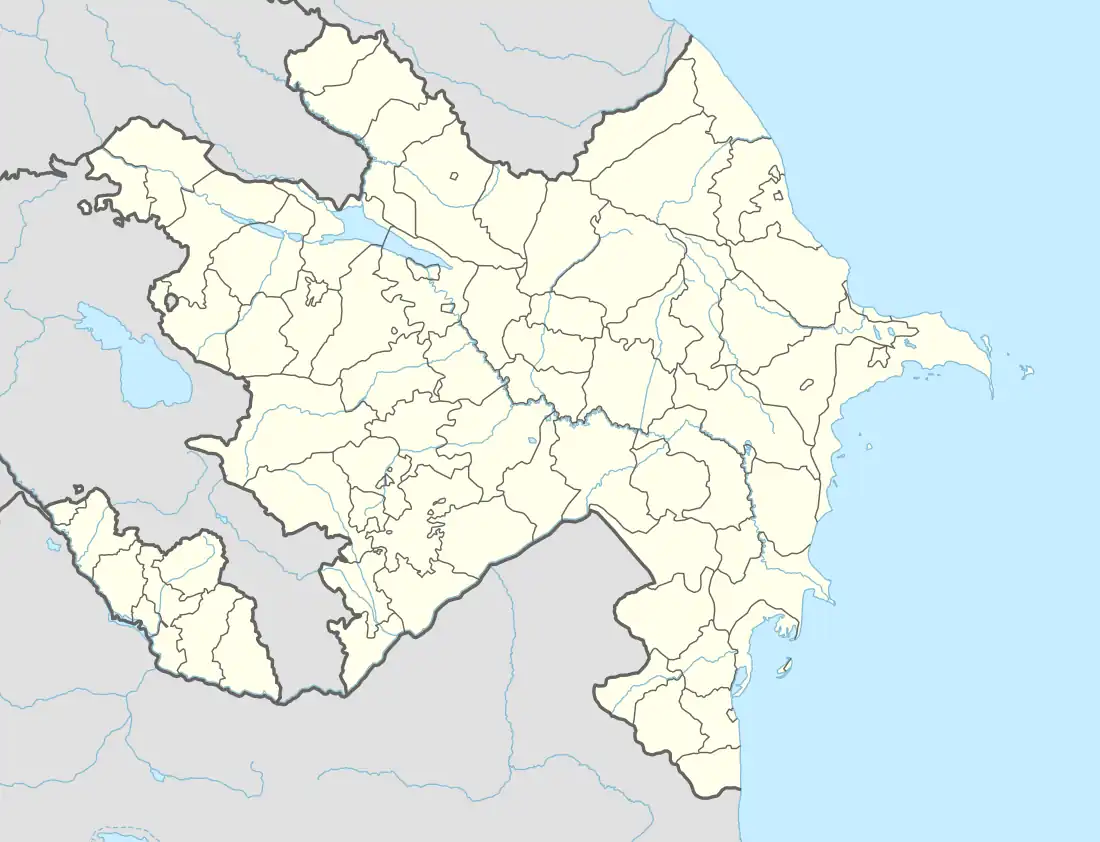
Anaqut | |
|---|---|
Municipality | |
 Anaqut | |
| Coordinates: 38°58′53″N 45°57′51″E / 38.98139°N 45.96417°E | |
| Country | |
| Autonomous republic | Nakhchivan |
| District | Ordubad |
| Population (2005) | |
| • Total | 428 |
| Time zone | UTC+4 (AZT) |
Anaqut (also, Anagyut, until 2003,[1] Danaqırt, and Danagyrt) is a village and municipality in the Ordubad District of Nakhchivan, Azerbaijan. It is located in the near of the Ordubad-Unus highway, 26 km away from the district center. The Venend river flows through center of the village. Its population mainly is busy with gardening, vegetable-growing and animal husbandry. There are club, library and a medical center in the village. It has a population of 428.[2]
Monuments
There was an Armenian church in the village - St. Astvatsatsin Church. It was still standing in the 1980s and had been destroyed by February 2000.[3]
See also
References
- ↑ "Naxçıvan Muxtar Respublikası şəhər və rayonlarının inzibati ərazi bölgüsündə qismən dəyişikliklər edilməsi haqqında" Azərbaycan Respublikasının 1 mart 2003-cü il tarixli, 423-IIQ nömrəli Qanunu Archived 2014-03-25 at the Wayback Machine (in Azerbaijani)
- ↑ ANAS, Azerbaijan National Academy of Sciences (2005). Nakhchivan Encyclopedia. Vol. I. Baku: ANAS. p. 25. ISBN 5-8066-1468-9.
- ↑ Khatchadourian, Lori; Smith, Adam T.; Ghulyan, Husik; Lindsay, Ian (2022). Silent Erasure: A Satellite Investigation of the Destruction of Armenian Heritage in Nakhchivan, Azerbaijan. Cornell Institute of Archaeology and Material Studies: Ithaca NY. pp. 100–103. Archived (PDF) from the original on 24 September 2022.
External links
This article is issued from Wikipedia. The text is licensed under Creative Commons - Attribution - Sharealike. Additional terms may apply for the media files.
