Altonah, Utah | |
|---|---|
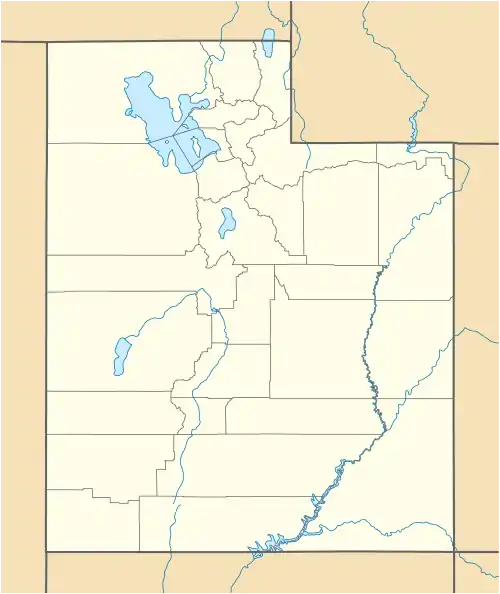
 Altonah Location within the state of Utah | |
| Coordinates: 40°24′5″N 110°17′38″W / 40.40139°N 110.29389°W | |
| Country | United States |
| State | Utah |
| County | Duchesne |
| Settled | 1906 |
| Elevation | 6,673 ft (2,034 m) |
| Time zone | UTC-7 (Mountain (MST)) |
| • Summer (DST) | UTC-6 (MDT) |
| ZIP codes | 84002 |
| GNIS feature ID | 1425097[1] |
Altonah (also Altona) is an unincorporated community in central Duchesne County, Utah, United States.[1]
Description
| Census | Pop. | Note | %± |
|---|---|---|---|
| 1920 | 626 | — | |
| 1930 | 528 | −15.7% | |
| 1940 | 592 | 12.1% | |
| 1950 | 363 | −38.7% | |
| Source: U.S. Census Bureau[2] | |||
The community is located on the Uintah and Ouray Indian Reservation along local roads north of State Route 87, north of the city of Duchesne, the county seat of Duchesne County.[3] It is situated at the southern base of the Uinta Mountains[4] and has an elevation of 6,673 feet (2,034 m).[1] Although Altonah is unincorporated, it has a post office, with the ZIP code of 84002.[5]
Altonah was originally settled in 1906, under the name of Alexander. It was renamed in 1912.[4]
See also
References
- 1 2 3 "Altonah". Geographic Names Information System. United States Geological Survey, United States Department of the Interior.
- ↑ "Census of Population and Housing". United States Census Bureau. Archived from the original on February 8, 2006. Retrieved November 4, 2011.
- ↑ Rand McNally. The Road Atlas '08. Chicago: Rand McNally, 2008, p. 103.
- 1 2 Van Cott, John W. (1990). Utah Place Names: A Comprehensive Guide to the Origins of Geographic Names: A Compilation. Salt Lake City: University of Utah Press. p. 6. ISBN 978-0-87480-345-7. OCLC 797284427. Retrieved February 9, 2018.
- ↑ Zip Code Lookup Archived 17 May 2011 at the Wayback Machine
External links
![]() Media related to Altonah, Utah at Wikimedia Commons
Media related to Altonah, Utah at Wikimedia Commons
This article is issued from Wikipedia. The text is licensed under Creative Commons - Attribution - Sharealike. Additional terms may apply for the media files.
