Allsboro | |
|---|---|
 Big Bear Creek, Allsboro, 1936 | |
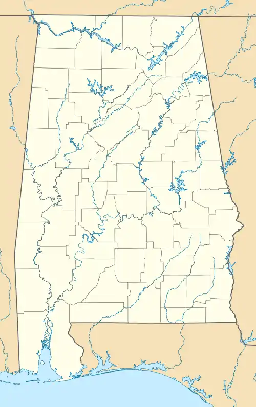
 Allsboro Location in Alabama | |
| Coordinates: 34°41′39″N 88°06′37″W / 34.69417°N 88.11028°W [1] | |
| Country | United States |
| State | Alabama |
| County | Colbert |
| Elevation | 640 ft (195 m) |
| Time zone | UTC-6 (Central (CST)) |
| • Summer (DST) | UTC-5 (CDT) |
| ZIP code | 35616 |
| Area code | 256 |
| GNIS feature ID | 113039 [1] |
Allsboro is a populated place in Colbert County, Alabama, United States.[1] This unincorporated community is located in the far western area of the county, about 9 miles (14 km) southwest of the town of Cherokee, near the Mississippi state border.
History
Allsboro was settled in the mid-19th century and named for the family of Bradley Alsobrook. A post office was established in Allsboro in 1851,[2] though another source stated it was first established from 1848-1866 and resumed again from 1872 until being discontinued in 1955.[3]
Demographics
Allsboro
| Census | Pop. | Note | %± |
|---|---|---|---|
| 1880 | 106 | — | |
| U.S. Decennial Census[4] | |||
Allsboro first appeared on the 1880 U.S. Census as an unincorporated village.[5] It did not appear separately as a village again. For precinct, see below.
Historic Demographics
| Census Year |
Population | State Place Rank |
County Place Rank |
|---|---|---|---|
| 1880[lower-alpha 1][5] | 106 (-)[lower-alpha 2][lower-alpha 3] | 163rd (-) | 4th (-) |
Allsboro Precinct (1890-1950)
| Census | Pop. | Note | %± |
|---|---|---|---|
| 1890 | 725 | — | |
| 1900 | 651 | −10.2% | |
| 1910 | 607 | −6.8% | |
| 1920 | 740 | 21.9% | |
| 1930 | 491 | −33.6% | |
| 1940 | 536 | 9.2% | |
| 1950 | 486 | −9.3% | |
| U.S. Decennial Census[6] | |||
The Allsboro Beat/Precinct (Colbert County 15th Precinct) first appeared on the 1890 U.S. Census.[7] The village of Allsboro had previously been in the 6th beat (Dickson) in 1880 and the new 15th beat was subdivided from it. The Allsboro Precinct continued to report until 1950. In 1960, the precinct was merged as part of a larger reorganization of counties into the census division of Cherokee.[8]
Gallery
Below are photographs taken in Allsboro as part of the Historic American Buildings Survey:
 Cripple Deer Creek Covered Bridge
 Cripple Deer Creek Covered Bridge
 Underside of bridge
 View through bridge to the south
 South Bank Bridge Foundation
 South side of bridge
 East End Bridge Foundation
_-_Buzzard_Roost_Covered_Bridge%252C_Highway_to_Allsboro_Southwest_of_Cherokee%252C_Cherokee%252C_Colbert_County%252C_AL_HABS_ALA%252C17-CHER.V%252C2-1.tif.jpg.webp) East End, Buzzard Roost Covered Bridge
East End, Buzzard Roost Covered Bridge South Side View of Big Bear Creek
 Foundation on south end of bridge
 West end of Buzzard Roost Covered Bridge
References
Notes
References
- 1 2 3 4 "Allsboro (Colbert County, Alabama)". Geographic Names Information System. United States Geological Survey, United States Department of the Interior. Retrieved June 24, 2013.
- ↑ Foscue, Virginia. Place Names in Alabama. University: U of Alabama P, 1989.
- ↑ Colbert. "Current or Historic Place" (PDF). pp. 89–93. Archived (PDF) from the original on March 20, 2023.
- ↑ "U.S. Decennial Census". Census.gov. Archived from the original on May 7, 2015. Retrieved June 6, 2013.
- 1 2 "Table III - Population of Civil Divisions less than counties, in the aggregate at the Censuses of 1880 and 1870" (PDF). United States Census Bureau. 1880.
- ↑ "U.S. Decennial Census". Census.gov. Retrieved June 6, 2013.
- ↑ "Statistics of Population - Minor Civil Divisions 1880 and 1890 - Alabama" (PDF). United States Census Bureau. 1890. pp. 52–59.
- ↑ "Number of Inhabitants - Alabama" (PDF). United States Census Bureau. 1960.
