| Albert Falls Dam | |
|---|---|
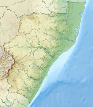
 Location of Albert Falls Dam in KwaZulu-Natal | |
| Official name | Albert Falls Dam |
| Country | South Africa |
| Location | Near Pietermaritzburg, KwaZulu-Natal |
| Coordinates | 29°26′10″S 30°23′18″E / 29.43611°S 30.38833°E |
| Purpose | Irrigation and domestic |
| Opening date | 1976 |
| Owner(s) | Department of Water Affairs |
| Dam and spillways | |
| Type of dam | Earth fill dam |
| Impounds | Umgeni River |
| Height | 33 metres (108 ft) |
| Length | 2,006 metres (6,581 ft) |
| Reservoir | |
| Creates | Albert Falls Dam Reservoir |
| Total capacity | 290.1 million cubic metres (10.24×10⁹ cu ft) |
| Surface area | 2,350 hectares (5,800 acres) |
Albert Falls Dam is a dam in the Umgeni River, just outside Pietermaritzburg, KwaZulu-Natal, South Africa. It was established in 1976. It has a gross capacity of 290.1 million cubic meters and a surface area of 23.521 square kilometres (9.082 sq mi), the dam wall is 33 metres (108 ft) high.
A lake-wide bloom of the dinoflagellate Ceratium hirundinella, discovered in Albert Falls Dam in October 2006, exposed a significant ecological change indicative of reduced water quality in this historically mesotrophic reservoir. The spatial distribution of the bloom was examined synoptically in October 2006 and in January 2007.[1]
See also
References
- ↑ Hart, RC; Wragg, PD (23 May 2009). "Recent blooms of the dinoflagellate Ceratium in Albert Falls Dam (KZN): History, causes, spatial features and impacts on a reservoir ecosystem and its zooplankton". Water SA. 35 (4). doi:10.4314/wsa.v35i4.76807. ISSN 0378-4738.
This dam is used for fishing, swimming, boating, waterskiing, kneeboarding, sailing, and other water activities. The water is brown and murky.