Agostinho Neto | |
|---|---|
Village | |
.jpg.webp) Roça Rio do Ouro along the village's main street | |
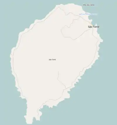
 Agostinho Neto Location on São Tomé Island | |
| Coordinates: 0°22′00″N 6°38′36″E / 0.3667°N 6.6434°E | |
| Country | São Tomé and Príncipe |
| Island | São Tomé |
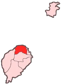
| District | Lobata |
| Population (2012) | |
| • Total | 992 |
| Time zone | UTC+1 (WAT) |
Agostinho Neto is a settlement in Lobata District on São Tomé Island in São Tomé and Príncipe. Its population is 992 (2012 census).[1] It lies 1.5 km southeast of Guadalupe and 2.5 km west of Conde.
After São Tomé and Príncipe became independent in 1975, the settlement was named after the founding father of Angola, Agostinho Neto. The settlement grew around the plantation complex Roça Rio do Ouro, established in 1865. It is one of the most impressive agricultural structures in the country. There is a museum in the former mansion.[2][3]
Population history
| Year | Pop. | ±% |
|---|---|---|
| 2001[4] | 762 | — |
| 2008[4] | 869 | +14.0% |
| 2012[1] | 992 | +14.2% |
Sports
The football (soccer) club of the village is Amador.
References
- 1 2 2012 detailed census São Tomé e Príncipe Archived 2019-03-27 at the Wayback Machine, Instituto Nacional de Estatística
- ↑ Roça Rio do Ouro - As Roças de São Tomé
- ↑ "Roça Agostinho Neto" (in Portuguese). SIPA. Retrieved 2018-10-24.
- 1 2 "Evolução da população São-Tomense por localidades, 2001/2007-08" (PDF). Instituto Nacional de Estatística. Archived from the original (PDF) on 2017-02-09.
This article is issued from Wikipedia. The text is licensed under Creative Commons - Attribution - Sharealike. Additional terms may apply for the media files.
