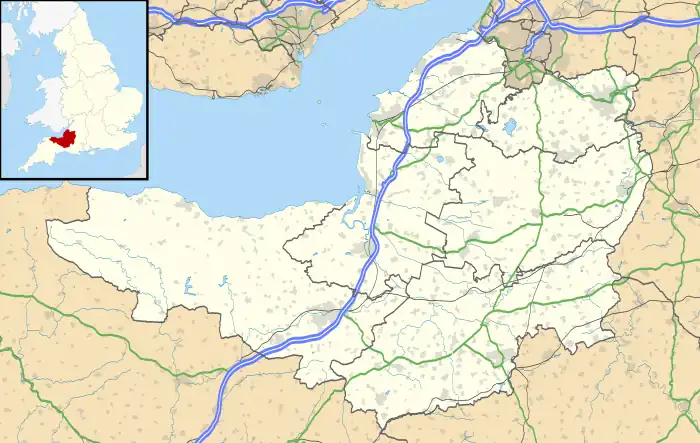
Abbey was an electoral ward covering the centre of Bath, England. It was abolished as part of the boundary changes effected at the elections held on 2 May 2019.[1]
Abbey is rarely used as the name of an area of Bath, and was primarily used just for electoral purposes within the Bath and North East Somerset unitary authority; it elected two councillors.[2]
St John's Catholic Primary School is located on the eastern edge of the former ward.[3]
The electoral wards surrounding the ward were: Lansdown and Walcot to the north, Bathwick to the east, Widcombe to the south, and Kingsmead to the west.[4]
Notable places
Some notable places within the former ward are:
References
- ↑ Bath and North East Somerset Council District Council Elections
- ↑ "The Avon (Structural Change) Order 1995". legislation.gov.uk. The National Archives. Retrieved 19 March 2011.
- ↑ "St John's Catholic Primary School". St John's Catholic Primary School. Archived from the original on 12 August 2011. Retrieved 23 March 2011.
- ↑ "Ward Maps". Bath & North East Somerset Council. Archived from the original on 3 April 2011. Retrieved 10 March 2011.
External links
- Bath & North East Somerset Council: Abbey ward, Openly Local
- Ward Profile - Abbey, Bath and North East Somerset
- Election results for Abbey, 3 May 2007, Bath and North East Somerset
This article is issued from Wikipedia. The text is licensed under Creative Commons - Attribution - Sharealike. Additional terms may apply for the media files.
