_1.jpg.webp) | |
| Państwo | |
|---|---|
| Departament | |
| Powierzchnia |
5,3 km² |
| Wysokość |
164 m n.p.m. |
| Populacja • liczba ludności |
|
| Kod pocztowy |
40100 |
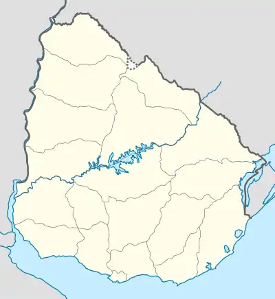
Położenie na mapie Urugwaju  | |
This article is issued from Wikipedia. The text is licensed under Creative Commons - Attribution - Sharealike. Additional terms may apply for the media files.