| Państwo | |
|---|---|
| Dystrykt |
Luwero |
| Powierzchnia |
178,0 km² |
| Wysokość |
1100 m n.p.m. |
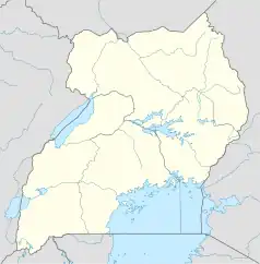
Położenie na mapie Ugandy  | |
Luwero – miasto w Ugandzie, stolica dystryktu Luwero.
This article is issued from Wikipedia. The text is licensed under Creative Commons - Attribution - Sharealike. Additional terms may apply for the media files.