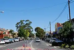
 | |
| Państwo | |
|---|---|
| Stan | |
| Powierzchnia |
9,21 km² |
| Wysokość |
86 m n.p.m. |
| Populacja • liczba ludności |
|
| Kod pocztowy |
3579 |
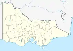
Położenie na mapie Wiktorii  | |
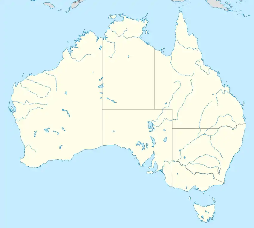
Położenie na mapie Australii  | |
This article is issued from Wikipedia. The text is licensed under Creative Commons - Attribution - Sharealike. Additional terms may apply for the media files.