| Râul Târgului | |
|---|---|
 | |
 | |
| Location | |
| Country | Romania |
| Counties | Argeș County |
| City | Câmpulung |
| Physical characteristics | |
| Source | Iezer Mountains |
| Mouth | Râul Doamnei |
• coordinates | 44°56′47″N 24°53′42″E / 44.9463°N 24.8949°E |
| Length | 72 km (45 mi) |
| Basin size | 1,096 km2 (423 sq mi) |
| Basin features | |
| Progression | Râul Doamnei→ Argeș→ Danube→ Black Sea |
| Tributaries | |
| • left | Argeșel |
| • right | Bratia |
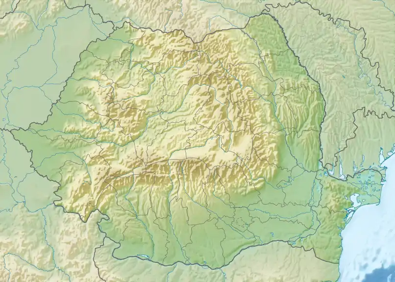
The Râul Târgului is a left tributary of the river Râul Doamnei in Romania.[1][2] Its source is near the Păpușa Peak, in the Iezer Mountains. It discharges into the Râul Doamnei between Micești and Mioveni.[3] Its upper course, upstream from the confluence with the Bătrâna, is also called Cuca. Its length is 72 km (45 mi) and its basin size is 1,096 km2 (423 sq mi).[2]
Tributaries
The following rivers are tributaries to the Râul Târgului (from source to mouth):[2]
References
- ↑ "Planul național de management. Sinteza planurilor de management la nivel de bazine/spații hidrografice, anexa 7.1" (PDF, 5.1 MB). Administrația Națională Apele Române. 2010. pp. 799–800.
- 1 2 3 Atlasul cadastrului apelor din România. Partea 1 (in Romanian). Bucharest: Ministerul Mediului. 1992. pp. 330–331. OCLC 895459847. River code: X.1.17.8
- ↑ Raul Targului (jud. Arges), e-calauza.ro
This article is issued from Wikipedia. The text is licensed under Creative Commons - Attribution - Sharealike. Additional terms may apply for the media files.