Santa Bernardina International Airport Tte. 2° Mario W. Parallada Air Base | |||||||||||||||
|---|---|---|---|---|---|---|---|---|---|---|---|---|---|---|---|
_Lofting.jpg.webp) Uruguayan Air Force OA-37B | |||||||||||||||
| Summary | |||||||||||||||
| Airport type | Public/Military | ||||||||||||||
| Operator | Aeropuertos Uruguay | ||||||||||||||
| Serves | Durazno, Uruguay | ||||||||||||||
| Elevation AMSL | 305 ft / 93 m | ||||||||||||||
| Coordinates | 33°21′35″S 56°30′00″W / 33.35972°S 56.50000°W | ||||||||||||||
| Map | |||||||||||||||
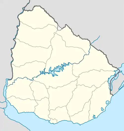
 DZO Location in Uruguay | |||||||||||||||
| Runways | |||||||||||||||
| |||||||||||||||
Santa Bernardina International Airport (Spanish: Aeropuerto Internacional Santa Bernardina) (IATA: DZO, ICAO: SUDU) is a military and general aviation airport serving Durazno, capital of the Durazno Department of Uruguay.
The facilities are shared with the Tte. 2° Mario W. Parallada Air Base of the Uruguayan Air Force.
The airport is 3 kilometres (2 mi) across the Yí River, northeast from downtown Durazno. The Durazno VOR-DME (Ident: DUR) is located on the field. Several non-directional beacons are located around the airport.[4]
Tte. 2° Mario W. Parallada Air Base
Tte. 2° Mario W. Parallada Air Base is a base of the Uruguayan Air Force that shares facilities at the Santa Bernardina International Airport.
Air Brigade No. 2 is stationed at the base. The brigade has three operating squadrons:
- No. 2 Squadron flies 8 Cessna A-37 Dragonfly aircraft in fighter and ground attack missions.
- Advanced Flight Squadron flies 5 Pilatus PC-7 training aircraft.
- Enlace Squadron flies 4 Cessna 206 and 1 Cessna 210 aircraft in utility and liaison roles.
See also
References
- ↑ "Airport information for Santa Bernardina International Airport". World Aero Data. Archived from the original on 2019-03-05.
{{cite web}}: CS1 maint: unfit URL (link) Data current as of October 2006. - ↑ "Santa Bernardina-Durazno Airport". SkyVector. Retrieved 15 February 2019.
- ↑ "Santa Bernardina Airport". Google Maps. Google. Retrieved 15 February 2019.
- ↑ "Durazno VOR". Our Airports. Retrieved 15 February 2019.
External links
- OpenStreetMap - Durazno
- Airport information for Santa Bernardina International Airport at Great Circle Mapper.
- Current weather for Durazno, Uruguay at NOAA/NWS
- Accident history for Durazno/Santa Bernardina International Airport at Aviation Safety Network