Semqaniyeh,
السمقانية | |
|---|---|
City | |
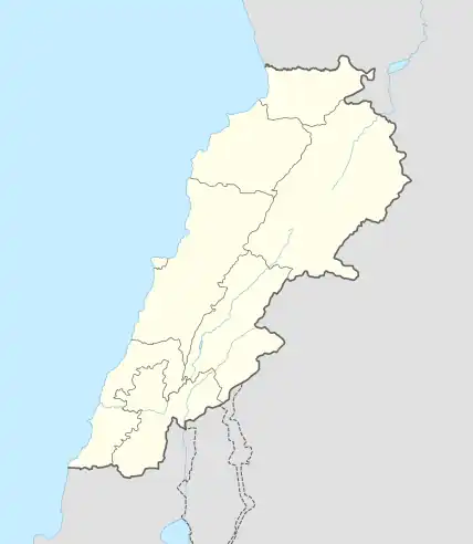
 Semqaniyeh, Location within Lebanon | |
| Coordinates: 33°40′52″N 35°35′17″E / 33.68111°N 35.58806°E | |
| Country | |
| Governorate | Mount Lebanon Governorate |
| District | Chouf District |
| Elevation | 920 m (3,020 ft) |
| Time zone | UTC+2 (EET) |
| • Summer (DST) | UTC+3 (EEST) |
| Dialing code | +961 |
Symkanieh (Arabic: سمقانية) is a town located in the Chouf District of Mount Lebanon Governorate, about 45 kilometres (28 mi) southeast of Beirut. Its altitude ranges between 850 m (2,790 ft) – 950 m (3,120 ft) high. Bordering Towns: Bakaata and Baakline. Symkanieh was the seat house for Harmouche Family. It has ancient ruins for the Palace of Mahmoud Harmouche who governed Mount Lebanon before he was defeated by Emir Haidar Chehab in the Battle of Ain Dara
References
- ↑ Semqaniyeh, Localiban
External links
- Semqaniyeh, Localiban
This article is issued from Wikipedia. The text is licensed under Creative Commons - Attribution - Sharealike. Additional terms may apply for the media files.
