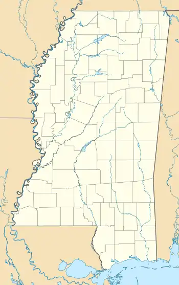
Rising Sun, Mississippi | |
|---|---|
 Rising Sun  Rising Sun | |
| Coordinates: 33°27′31″N 90°12′31″W / 33.45861°N 90.20861°W | |
| Country | United States |
| State | Mississippi |
| County | Leflore |
| Elevation | 125 ft (38 m) |
| Time zone | UTC-6 (Central (CST)) |
| • Summer (DST) | UTC-5 (CDT) |
| ZIP code | 38954 |
| Area code | 662 |
| GNIS feature ID | 676672[1] |
Rising Sun is an unincorporated community located in Leflore County, Mississippi. Rising Sun is approximately 2 miles (3.2 km) south of Greenwood and 5 miles (8.0 km) north of Sidon on U.S. Route 49E . Some citizens refer to the area north of Rising Sun near the Hwy 82 and Hwy 49E intersection in Greenwood as being Rising Sun but the area is known as Craigside.
It is part of the Greenwood, Mississippi micropolitan area.
Rising Sun is located on the Canadian National Railway. A post office operated under the name Rising Sun from 1887 to 1912.[2]
In 1900, the community had a population of 72.[3]
References
- ↑ U.S. Geological Survey Geographic Names Information System: Rising Sun, Mississippi
- ↑ Howe, Tony. "Rising Sun, Mississippi". Mississippi Rails. Retrieved February 20, 2023.
- ↑ Rowland, Dunbar (1907). Mississippi: Comprising Sketches of Counties, Towns, Events, Institutions, and Persons, Arranged in Cyclopedic Form (PDF). Vol. 2. Southern Historical Publishing Association. p. 556.
This article is issued from Wikipedia. The text is licensed under Creative Commons - Attribution - Sharealike. Additional terms may apply for the media files.
