Pomarance | |
|---|---|
| Comune di Pomarance | |
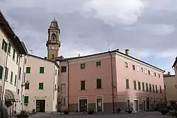
 Larderel principal Square | |
 Coat of arms | |
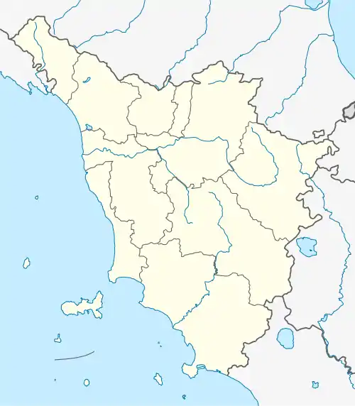
Location of Pomarance | |
 Pomarance Location of Pomarance in Italy  Pomarance Pomarance (Tuscany) | |
| Coordinates: 43°17′N 10°52′E / 43.283°N 10.867°E | |
| Country | Italy |
| Region | Tuscany |
| Province | Pisa (PI) |
| Frazioni | Larderello, Libbiano, Lustignano, Micciano, Montecerboli, Montegemoli, San Dalmazio, Serrazzano |
| Government | |
| • Mayor | Ilaria Bacci |
| Area | |
| • Total | 227.71 km2 (87.92 sq mi) |
| Elevation | 370 m (1,210 ft) |
| Population (31 December 2016)[2] | |
| • Total | 5,855 |
| • Density | 26/km2 (67/sq mi) |
| Demonym | Pomarancini |
| Time zone | UTC+1 (CET) |
| • Summer (DST) | UTC+2 (CEST) |
| Postal code | 56045 |
| Dialing code | 0588 |
| Patron saint | San Vittore |
| Website | Official website |
Pomarance is a comune (municipality) in the Province of Pisa in the Italian region Tuscany, located about 60 kilometres (37 mi) southwest of Florence and about 60 km southeast of Pisa.
Pomarance borders the following municipalities: Casole d'Elsa, Castelnuovo di Val di Cecina, Montecatini Val di Cecina, Monterotondo Marittimo, Monteverdi Marittimo, Radicondoli, Volterra.
Pomarance was the hometown of three painters called Pomarancio after it.
From 1968 to 1992 there was at San Dalmazio the static inverter plant of HVDC Italy–Corsica–Sardinia. Today, there is a solar park.
See also
References
- ↑ "Superficie di Comuni Province e Regioni italiane al 9 ottobre 2011". Italian National Institute of Statistics. Retrieved 16 March 2019.
- ↑ All demographics and other statistics: Italian statistical institute Istat.
External links
Wikimedia Commons has media related to Pomarance.
This article is issued from Wikipedia. The text is licensed under Creative Commons - Attribution - Sharealike. Additional terms may apply for the media files.
