| Rawal lake | |
|---|---|
 | |
 Rawal lake 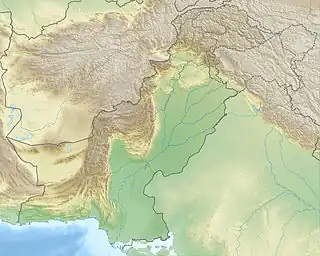 Rawal lake 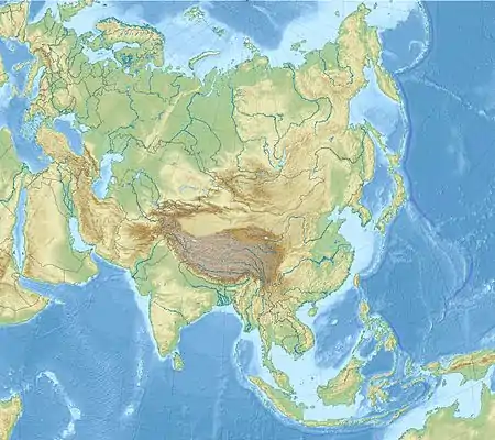 Rawal lake | |
| Location | Margalla Hills National Park |
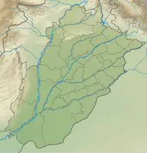
| Coordinates | 33°42′N 73°07′E / 33.700°N 73.117°E |
| Type | reservoir |
| Catchment area | 106.25 sq mi (275.2 km2) |
| Basin countries | Pakistan |
| Surface area | 8.8 km2 (3.4 sq mi) |
| Max. depth | 102 ft (31 m) |
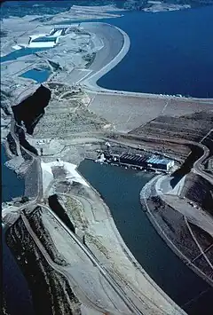
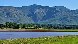
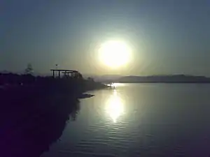
Rawal Lake (Urdu: جھیل راول) in Pakistan is an artificial reservoir that provides the water needs for the cities of Rawalpindi and Islamabad. Korang River along with some other small streams coming from Margalla Hills have been set to form this artificial lake which covers an area of 8.8 km2. Korang River is the outlet stream of Rawal Dam. Rawal Lake is located within an isolated section of the Village Malpur, Bani Gala and Margalla Hills National Park.[1][2][3][4][5][6]
Recreation
The area around the lake has been planted with flowering trees and laid out with gardens, picnic spots, and secluded paths. The terraced garden and the lake are used for picnics, fishing and boating. The highest point in the garden offers a panoramic view of the lake, Margalla and Murree hills, Rawalpindi and Islamabad.
Boating, sailing, water skating and diving facilities are organized by private clubs.
To the west of the lake is the Islamabad Club, which offers different sporting facilities.
Wildlife
The reservoir is of considerable importance for wintering waterfowl, especially Anas platyrhynchos.
Resident mammals include the Red fox, Indian pangolin, Indian crested porcupine, jungle cat, Persian jackal, Central Asian boar and yellow-throated marten.
Reptiles include Indian Cobra and Russell's Viper.
It is a good place for birds watching, as the majority of Birds of Islamabad are found here.
Fishery
There are 15 fish species belonging to 11 genera that are present in Rawal Lake. The fish species in Rawal lake and its tributaries include: Doula (Channa channa), Rahu (Labeorohita), Thaila (Catla catla), Mori (Cirrhinus mrigala), Carp fish (Cyprinus carpio) and Talapia (Tilapia mossambica).[7]
Features of Rawal Lake
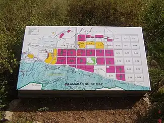
- Location: Islamabad Park Area
- Longitude: 73° 7' E
- Latitude: 33° 41' N
- Catchments Area: 106.25 square miles (275 km2)
Features of Rawal Lake dam
- Type of dam: partly arched gravity dam (stone masonry)
- Crest level: 1,752 ft (534 m)
- Crest length: 700 ft (210 m)
- Maximum height: 133.5 ft (40.7 m)


Saddle
- Length 6,991 ft (2,131 m)
- Height 24 ft (7.3 m)
Spillway
- Type: Ogee gated structure
- Discharge Capacity: 82000 ft³/s (2,300 m³/s)
Reservoir
- Area: 3 square miles (7.8 km2)
- Maximum depth: 102 feet (31 m)
- Live storage: 37,500 acre-feet (46,300,000 m3)
- Dead storage: 4,500 acre-feet (5,600,000 m3)
- Gross capacity: 42,000 acre-feet (52,000,000 m3)
Canals
- Left bank canal(Shahana Disty): length 5 miles (8.0 km)
- Capacity: 40 ft³/s (1.1 m³/s)
- Purpose: Irrigation
- Capacity: 40 ft³/s (1.1 m³/s)
- Right bank canal (Ojri Disty) : length 1.5 miles (2.4 km)
- Capacity: 70 ft³/s (2.0 m³/s)
- Purpose: Drinking water supply to Rawalpindi
- Capacity: 70 ft³/s (2.0 m³/s)
Drinking water supply
- Rawalpindi: 25.00 million US gallons per day (94,600 m3/d)
Command area
- Agriculture: 500 acres (2.0 km2)
See also
Notes
- ↑ "Microsoft Word - Report on Rawal Lake Catchment Management.doc" (PDF). Retrieved 2012-01-26.
- ↑ "Rawal Dam Park, Islamabad". Paktive.com. Retrieved 2012-01-26.
- ↑ "Water level increases in Rawal Dam". Thenews.com.pk. Retrieved 2012-01-26.
- ↑ "Kidnapped boy's body recovered from Rawal Dam". Pakistan Criminal Records. Retrieved 2012-01-26.
- ↑ "Claims over Rawal Dam land: Twin cities ready to reconcile | Provinces". Dawn.Com. 2011-09-21. Retrieved 2012-01-26.
- ↑ "Rawal Dam – more polluted than ever | Provinces". Dawn.Com. 2011-12-01. Retrieved 2012-01-26.
- ↑ M.phil Thesis- Saadullah Ayaz- Ecological Zonation Margallah
References
- Small Dams Organization(Govt. Of The Punjab, Irrigation Department, Development Zone, Lahore, Small Dams Organization, Islamabad)
