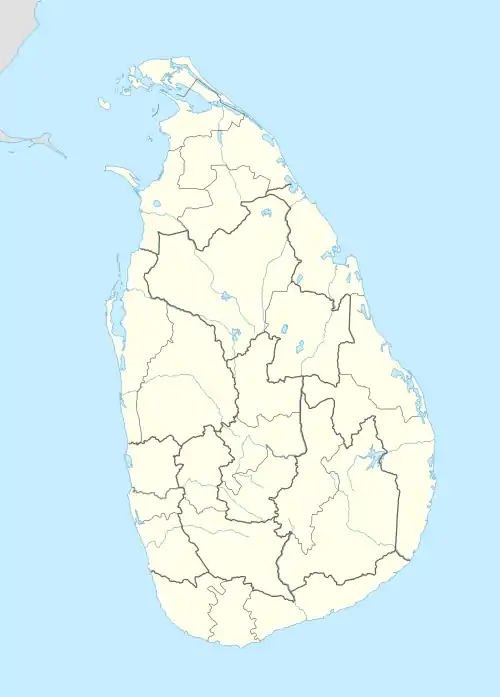
Rakwana
இறக்குவானை රක්වාන | |
|---|---|
 Rakwana
இறக்குவானை රක්වාන | |
| Coordinates: 6°28′18″N 80°36′42″E / 6.47167°N 80.61167°E | |
| Country | Sri Lanka |
| Province | Sabaragamuwa Province |
| Population | |
| • Total | 12,616 |
| Time zone | UTC+5:30 (Sri Lanka Standard Time Zone) |
| • Summer (DST) | UTC+6 (Summer time) |
| Post code | 70300 |
Rakwana is a town in the Ratnapura District, Sabaragamuwa Province of Sri Lanka, a notable centre of Ceylon tea plantations and industry. Additionally, Rakwana is said to have gem resources.Rakwana is locally administered by the Godakawela-Rakwana Urban Council. The town of Rakwana including its northern and southern part and Kottala has 10,513 in population according to the census carried out in 2010.
Located at an elevation of 464 m (1,522 ft), north of Sinharaja Mountains, on the A17 highway. It is 12 km (7.5 mi) from Madampe on the way to Galle. It also has roads leading to Kalawana and Godakawela. Rakwana acts as one of the gateways for the famous Sinharaja Forest reserve.
Demographics
| Ethnicity | Population | % Of Total |
|---|---|---|
| Sinhalese | 5,721 | 54.42 |
| Tamils | 2,590 | 24.64 |
| Muslims | 1,574 | 14.97 |
| Other (including Burgher, Malay) | 30 | 0.003 |
| Total | 10,513 | 100 |
The population according to the Grama-Niladhari Division
| DS Division | Population |
|---|---|
| Rakwana Town | 2084 |
| Rakwana South | 2854 |
| Rakwana North | 3257 |
| Kottala | 4421 |
| Weralugahamula | 1188 |
| Masimbula | 4638 |
| Horamula | 2277 |
| Madampe-North | 4409 |
| Total | 23,044 |
References