Quinlan's Covered Bridge | |
|---|---|
 Bridge in U.S. state of Vermont | |
| Coordinates | 44°16′34″N 73°11′02″W / 44.276°N 73.184°W |
| Carries | Automobile |
| Crosses | Lewis Creek |
| Locale | Charlotte, Vermont |
| Maintained by | Town of Charlotte |
| ID number | VT-04-03 |
| Characteristics | |
| Design | Covered, Burr Arch |
| Material | Wood |
| Total length | 88.1 ft (26.85 m) |
| Width | 13.9 ft (4.24 m) |
| No. of spans | 1 |
| Load limit | 5 tons |
| Clearance above | 10.5 ft (3.20 m) |
| History | |
| Constructed by | unknown |
| Construction end | 1849 |
  | |
| Coordinates | 44°16′35″N 73°11′4″W / 44.27639°N 73.18444°W |
| Area | 1 acre (0.40 ha) |
| NRHP reference No. | 74000208[1] |
| Added to NRHP | September 10, 1974 |
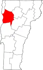
Quinlan's Covered Bridge, also called the Lower Covered Bridge,[2] and Sherman Covered Bridge[3] is a wooden covered bridge that crosses Lewis Creek in Charlotte, Vermont on Monkton Road. It was listed on the National Register of Historic Places in 1974.[1] It is one of nine 19th-century Burr arch covered bridges in the state.
Description and history
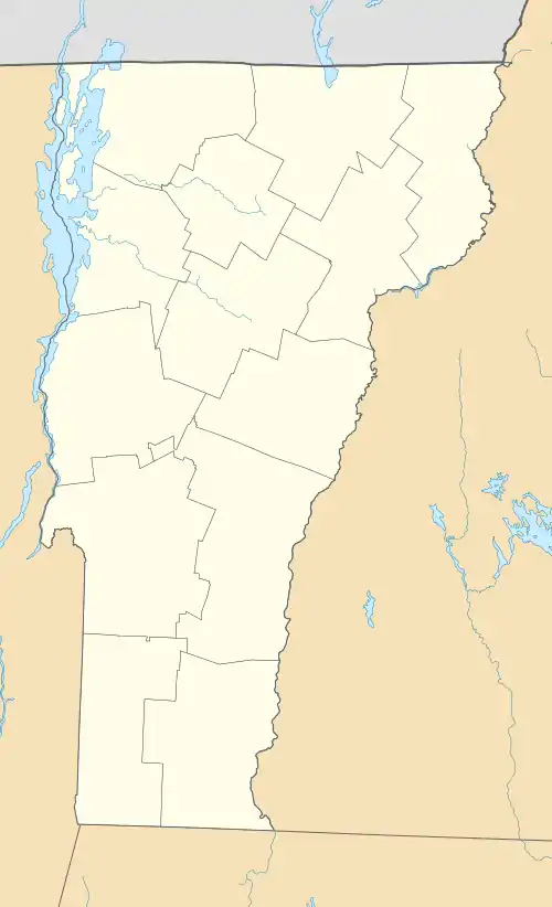
Quinlan's Covered Bridge is located in a rural area of southeastern Charlotte, at a point where Monkton Road arrives from the south to meet Lewis Creek Road and Spear Street on opposite sides of Lewis Creek. The bridge is a single-span Burr arch truss, 86 feet (26 m) long and 16.5 feet (5.0 m), with a roadway width of 13.5 feet (4.1 m). Each truss has, in addition to diagonal braces and vertical posts, a pair of timber arches bolted to it. It has a gabled roof, and its exterior is clad in vertical board siding, which extends around to the inside of the portals. It rests on stone abutments faced in concrete.[4]
The builder is unknown, but most likely the same builder as the Sequin Covered Bridge upstream. The name "Lower Bridge" was because it is downstream of the Sequin (or "Upper") bridge. This is common in Vermont where multiple bridges crossed the same body of water in the same town. The name "Quinlan" is attributed the family of the same name that held land in the area. The name "Sherman" comes from the owner of a sawmill that was located adjacent to the bridge site.[3]
In 1949 or 1950 steel beams were installed under the deck to strengthen it.[3] The bridge underwent reconstruction in 2013.
See also
References
- 1 2 "National Register Information System". National Register of Historic Places. National Park Service. July 9, 2010.
- ↑ U.S. Geological Survey Geographic Names Information System: Quinlans Covered Bridge
- 1 2 3 Evans, Benjamin and June. New England's Covered Bridges. University Press of New England, 2004. ISBN 1-58465-320-5
- ↑ Hugh Henry (1974). "NRHP nomination for Quinlan's Covered Bridge". National Park Service. Retrieved 2016-11-21. with photos from 1974
