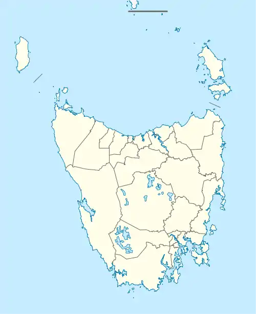
| Prospect Vale Launceston, Tasmania | |||||||||||||||
|---|---|---|---|---|---|---|---|---|---|---|---|---|---|---|---|
 Prospect Vale | |||||||||||||||
| Coordinates | 41°28′31″S 147°07′04″E / 41.4753°S 147.1178°E | ||||||||||||||
| Population | 5,067 (2016 census)[1] | ||||||||||||||
| Postcode(s) | 7250 | ||||||||||||||
| Location | 7 km (4 mi) SW of Launceston | ||||||||||||||
| LGA(s) | Meander Valley Council | ||||||||||||||
| Region | Launceston | ||||||||||||||
| State electorate(s) | Lyons | ||||||||||||||
| Federal division(s) | Lyons | ||||||||||||||
| |||||||||||||||
Prospect Vale is a rural/residential locality in the local government areas (LGA) of Launceston (1%) and Meander Valley (99%) in the Launceston LGA region of Tasmania. The locality is about 7 kilometres (4.3 mi) south-west of the town of Launceston. The 2016 census recorded a population of 5067 for the state suburb of Prospect Vale.[1] It is a small suburb of Greater Launceston. Prospect Vale has a small shopping centre, Prospect Vale Marketplace, containing a Woolworths supermarket and a small industrial park lies within its boundaries. Sporting grounds include the St Patrick's Old Collegians Football Club Oval, who compete in the Northern Tasmania Football Association.
History
Prospect Vale was gazetted as a locality in 1963.[2]
The land was originally used by European settlers for cattle grazing and horse studs. The suburb was originally part of the adjacent suburb of Prospect, which was proclaimed in 1958. Prospect primary school was the area's first school. This school is now known as Summerdale primary school, and is in the suburb of Summerhill.[3] It contains two schools, the public Prospect High School and a private Catholic school, St. Patricks College. St Patrick's moved to the current site in the late 1950s, to where the Rising Sun Hotel, a 2-storey 12-room building had been first built. The current school buildings were built c. 1961 for around 400 students.[3]
Geography
Most of the boundaries are survey lines.[4]
Road infrastructure
National Route 1 (Bass Highway) runs through from south-east to south-west.[2][5]
References
- 1 2 "2016 Census Quick Stats Prospect Vale (Tas.)". quickstats.censusdata.abs.gov.au. Australian Bureau of Statistics. 23 October 2017. Retrieved 2 April 2021.
- 1 2 "Placenames Tasmania – Prospect Vale". Placenames Tasmania. Select “Search”, enter "58H", click “Search”, select row, map is displayed, click “Details”. Retrieved 2 April 2021.
- 1 2 Westbury Municipal Council, p.26
- ↑ Google (2 April 2021). "Prospect Vale, Tasmania" (Map). Google Maps. Google. Retrieved 2 April 2021.
- ↑ "Tasmanian Road Route Codes" (PDF). Department of Primary Industries, Parks, Water & Environment. May 2017. Archived from the original (PDF) on 1 August 2017. Retrieved 2 April 2021.
Bibliography
- Westbury Municipal Council (1963). Westbury Municipal centenary 1863-1963. Launceston: Telegraph Printery.