| Priestwood | |
|---|---|
 St Andrew's parish church | |
 Priestwood Location within Berkshire | |
| OS grid reference | SU861697 |
| Metropolitan borough | |
| Metropolitan county | |
| Region | |
| Country | England |
| Sovereign state | United Kingdom |
| Post town | Bracknell |
| Postcode district | RG42 |
| Dialling code | 01344 |
| Police | Thames Valley |
| Fire | Royal Berkshire |
| Ambulance | South Central |
| UK Parliament | |
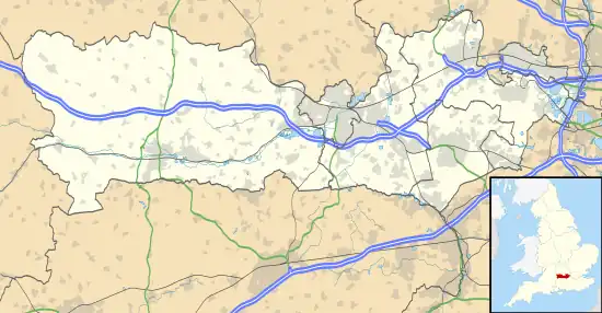
Priestwood is a suburb of Bracknell, Berkshire about 1 mile (1.6 km) northwest of the town centre.
Churches
The original Church of England parish church of Saint Andrew was simple Gothic Revival building designed by the architect H.G.W. Drinkwater and completed in 1888.[1] After its centenary the building was demolished and replaced with a new church that was consecrated in April 1990. St. Andrew's was part of the Bracknell Team Ministry.[2] St Andrew's has been part of the Warfield Church family since 2014.
Bracknell Methodist Church is also in Priestwood.[3]
Amenities
Meadow Vale Primary School is in the centre of Priestwood.[4] It has begun an expansion project to enable it to have three classes in each year.[5]
Blue Mountain Golf Club is near Priestwood.[6]
Priestwood has four local nature reserves, three of them Temple Copse, Jock's Copse & Tinkers Copse are known collectively as The Three Copses.[7][8][9][10] The other Nature reserve is called Piggy Wood.[11]
References
- ↑ Pevsner 1966, pp. 93–94.
- ↑ Bracknell Team Ministry Archived 2010-01-25 at the Wayback Machine
- ↑ Bracknell Methodist Church
- ↑ Meadow Vale Primary School
- ↑ "Meadow Vale Expansion Project". Meadow Vale Primary School. Archived from the original on 30 March 2012. Retrieved 30 August 2012.
- ↑ Blue Mountain Golf Club
- ↑ "The Three Copses: Parks to visit - Bracknell Forest Council". Bracknell-forest.gov.uk. Archived from the original on 27 April 2017. Retrieved 25 April 2017.
- ↑ "Magic Map Application - Tinkers copse". Magic.defra.gov.uk. Retrieved 26 April 2017.
- ↑ "Magic Map Application - Temple copse". Magic.defra.gov.uk. Retrieved 26 April 2017.
- ↑ "Magic Map Application - Jocks copse". Magic.defra.gov.uk. Retrieved 26 April 2017.
- ↑ Magic Map Application - Piggy Wood
Sources
- Pevsner, Nikolaus (1966). Berkshire. The Buildings of England. Harmondsworth: Penguin Books. pp. 93–94.
External links
![]() Media related to Priestwood at Wikimedia Commons
Media related to Priestwood at Wikimedia Commons