| Platte River Wilderness | |
|---|---|
   | |
| Location | Carbon / Albany counties, Wyoming / Jackson County, Colorado, USA |
| Nearest city | Rawlins, WY |
| Coordinates | 41°05′N 106°21′W / 41.083°N 106.350°W[1] |
| Area | 23,492 acres (95.07 km2) |
| Established | 1984 |
| Governing body | U.S. Forest Service |
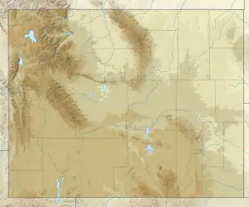
The Platte River Wilderness is primarily located in south central Wyoming, with a small section extending into Colorado in the United States. Located entirely within Medicine Bow - Routt National Forest, the wilderness was created in 1984 to protect the forestlands adjacent to the North Platte River. These forestlands were almost entirely consumed by the Mullen Fire in 2020.[2]
The Wyoming section lies within the original Medicine Bow National Forest, whereas the Colorado section is in the original Routt National Forest; since 1995 these have been administratively combined.[3][4][5][6]
U.S. Wilderness Areas do not allow motorized or mechanized vehicles, including bicycles. Although camping and fishing are allowed with proper permit, no roads or buildings are constructed and there is also no logging or mining, in compliance with the 1964 Wilderness Act. Wilderness areas within National Forests and Bureau of Land Management areas also allow hunting in season.[7]
References
- ↑ "Platte River Wilderness". Geographic Names Information System. United States Geological Survey, United States Department of the Interior. Retrieved August 12, 2012.
- ↑ "Mullen Fire Information - InciWeb the Incident Information System". inciweb.nwcg.gov. Retrieved 2020-10-09.
- ↑ "Platte River Wilderness". Wilderness.net. Retrieved August 12, 2012.
- ↑ "Platte River Wilderness". Public Lands Information Center. Retrieved August 12, 2012.
- ↑ "Platte River Wilderness Area". Colorado Wilderness. Retrieved August 12, 2012.
- ↑ "USGS Horatio Rock (WY,CO) Topo Map Quad" (map). TopoQuest. Retrieved June 30, 2008.
- ↑ "Wilderness Legislation: The Wilderness Act of 1964". The National Wilderness Preservation System. Wilderness.net. Retrieved August 16, 2008.