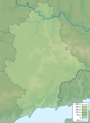
Novotroitske
Новотроїцьке | |
|---|---|
 Novotroitske Location of Novotroitske within Ukraine  Novotroitske Novotroitske (Ukraine) | |
| Coordinates: 47°43′2″N 37°34′34″E / 47.71722°N 37.57611°E | |
| Country | |
| Oblast | |
| Raion | |
| Founded | 1834 |
| Elevation | 186 m (610 ft) |
| Population (2022) | |
| • Total | 6,296 |
| Time zone | UTC+2 (EET) |
| • Summer (DST) | UTC+3 (EEST) |
| Postal code | 85732–85733 |
| Area code | +380 6244 |
Novotroitske (Ukrainian: Новотроїцьке; Russian: Новотроицкое) is an urban-type settlement in Volnovakha Raion, Donetsk Oblast, eastern Ukraine. It is located 34.4 kilometres (21.4 mi) southwest from the center of the city of Donetsk. Population: 6,296 (2022 estimate).[1]
History
The settlement was founded in the first half of the 19th century.
As of 15 February 2022, nine days prior to the 2022 Russian invasion of Ukraine, the settlement was under Ukrainian control.[2] By 13 March, Russian state media released footage which it claimed showed that the settlement was under the control of the Donetsk People's Republic.[3]
References
- ↑ Чисельність наявного населення України на 1 січня 2022 [Number of Present Population of Ukraine, as of January 1, 2022] (PDF) (in Ukrainian and English). Kyiv: State Statistics Service of Ukraine. Archived (PDF) from the original on 4 July 2022.
- ↑ Khurshudyan, Isabelle; Chavez, Michael Robinson; Shefte, Whitney (15 February 2022). "In Ukraine's trenches: Soviet relics, video games and hope for more Western weapons". The Washington Post. Novotroitske, Ukraine. Archived from the original on 16 February 2022. Retrieved 1 May 2022.
- ↑ WION Video Team (13 March 2022). "Russia releases village of Novotroitske, 'Z' painted on military convoy vehicles". WION. Retrieved 1 May 2022.
External links
This article is issued from Wikipedia. The text is licensed under Creative Commons - Attribution - Sharealike. Additional terms may apply for the media files.