Nischintapur | |
|---|---|
Village | |
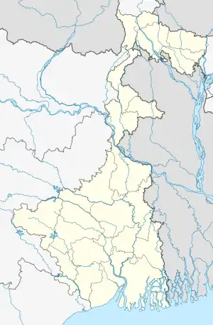
 Nischintapur Location in West Bengal  Nischintapur Location in India | |
| Coordinates: 21°59′25″N 88°12′55″E / 21.9902°N 88.2152°E | |
| Country | |
| State | |
| District | South 24 Parganas |
| CD Block | Kulpi |
| Elevation | 6 m (20 ft) |
| Languages | |
| • Official | Bengali[1][2] |
| • Additional official | English[1] |
| Time zone | UTC+5:30 (IST) |
| PIN | 743374 |
| Telephone code | +91 3174 |
| Vehicle registration | WB-19 to WB-22, WB-95 to WB-99 |
| Lok Sabha constituency | Mathurapur (SC) |
| Vidhan Sabha constituency | Kulpi |
| Website | www |
Nischintapur is a village within the jurisdiction of the Kulpi police station in the Kulpi CD block in the Diamond Harbour subdivision of the South 24 Parganas district in the Indian state of West Bengal.
Geography
Nischintapur is located at 21°59′25″N 88°12′55″E / 21.9902°N 88.2152°E. It has an average elevation of 6 metres (20 ft).
Transport
Nischintapur is on the National Highway 12.[3]
Nischintapur and Nischintapur Market railway stations are on the Sealdah–Namkhana line of the Kolkata Suburban Railway system.[3][4]
Commuters
With the electrification of the railways, suburban traffic has grown tremendously since the 1960s. As of 2005-06, more than 1.7 million (17 lakhs) commuters use the Kolkata Suburban Railway system daily. After the partition of India, refugees from erstwhile East Pakistan and Bangladesh had a strong impact on the development of urban areas in the periphery of Kolkata. The new immigrants depended on Kolkata for their livelihood, thus increasing the number of commuters. Eastern Railway runs 1,272 EMU trains daily.[5]
Healthcare
Kulpi Block Primary Health Centre, with 15 beds, at Kulpi, is the major government medical facility in the Kulpi CD block.[6]
References
- 1 2 "Fact and Figures". Wb.gov.in. Retrieved 5 July 2019.
- ↑ "52nd REPORT OF THE COMMISSIONER FOR LINGUISTIC MINORITIES IN INDIA" (PDF). Nclm.nic.in. Ministry of Minority Affairs. p. 85. Archived from the original (PDF) on 25 May 2017. Retrieved 5 July 2019.
- 1 2 Google maps
- ↑ "34792 Sealdah-Namkhana Local". Time Table. India Rail Info. Retrieved 15 December 2019.
- ↑ Mondal, Bhaswati. "Commuting and Metropolitan Development of Kolkata". Retrieved 16 December 2019.
- ↑ "Health & Family Welfare Department" (PDF). Health Statistics – Block Primary Health Centres. Government of West Bengal. Retrieved 1 December 2019.