Nimo
སྙེ་མོ་ Nyemo, Nimmoo, Nimu, Nimmu, Snymoo | |
|---|---|
 | |
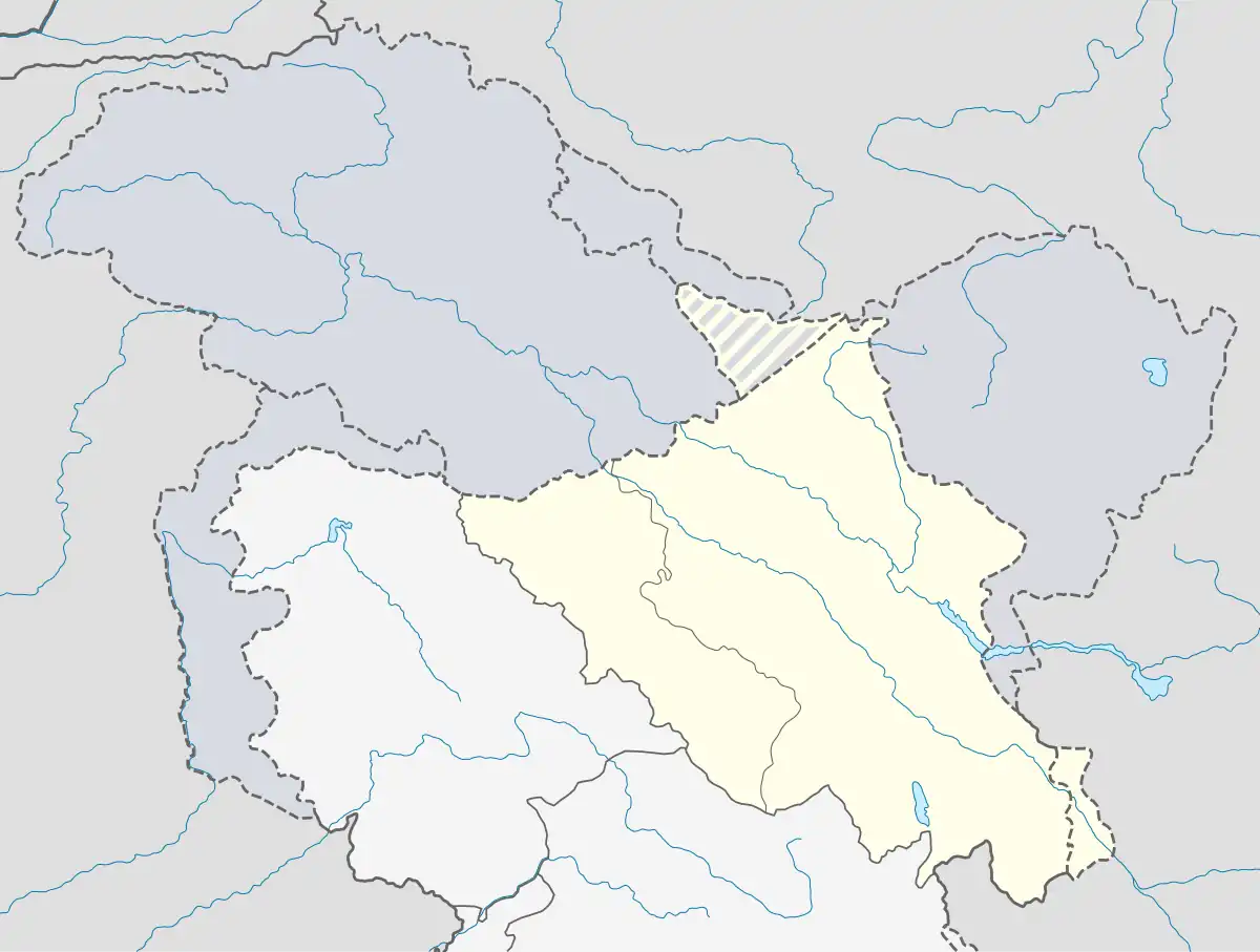
 Nimo Location in Ladakh, India  Nimo Nimo (India) | |
| Coordinates: 34°11′43″N 77°20′07″E / 34.1951812°N 77.335314°E | |
| Country | |
| Union Territory | Ladakh |
| District | Leh |
| Tehsil | Leh[1] |
| Elevation | 3,140 m (10,300 ft) |
| Population (2011) | |
| • Total | 1,134 |
| Languages | |
| • Official | Ladakhi, Hindi, English |
| Time zone | UTC+5:30 (IST) |
| 2011 census code | 852 |

Nimo[lower-alpha 1] or Nyemo[2] (Tibetan: སྙེ་མོ་, Wylie: snye mo) is a village and the headquarters of an eponymous community development block in the Leh district of Ladakh, India.[3] It is located in the Leh tehsil, 35 km from Leh.
Nimoo is a stop for all the river rafting groups and is the main starting point for the annually held all-India river rafting expedition on the Indus River.
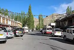
The temperature here varies from 40 °C in summer to −29 °C in winter. Due to such a harsh climate and extreme weather conditions, this area has very little vegetation cover (as seen in the picture on the right). It has a hydroelectric power plant known as the Nimu-Bazgo dam.[4]
Magnet Hill is a gravity defying road[5][6] 7.5 km southeast of Nimoo.
History
On 6 August 2010, the village was impacted by the 2010 Ladakh floods.
Tourism
Nimo has several monasteries and orchards. Rafting in the Indus River (Grade 1) and rafting in the Zanskar River (Grade 2) are popular outdoor sports. The confluence of Zanskar and Indus rivers is located close by.[7]
Nimoo is also very famous for its tea-samosa and Chola-puri at Nimoo Market.
Magnetic hill optical illusion
Magnet Hill or Nimoo-Leh Magnet Hill is a gravity hill located near Leh in Ladakh, India.[5] Due to the surrounding geographical features, it has an optical illusion where vehicles seem to roll uphill in defiance of gravity when they are, in fact, rolling downhill.[6] It is 7.5 km southeast of Nimo and 26.5 km west of Leh on Srinagar-Ladakh road.
Religious significance
Nimo is religiously significant for Buddhism and Sikhism. Along with the Ganges, the Indus river is also considered very important in Hindu theology.[8]
Sri Pathar Sahib Gurudwara is also situated in this town and is important to Sikhs.
Demographics
According to the 2011 census of India, Nimo has 193 households. The effective literacy rate (i.e. the literacy rate of population excluding children aged 6 and below) is 72.51%.[9]
| Total | Male | Female | |
|---|---|---|---|
| Population | 1134 | 568 | 566 |
| Children aged below 6 years | 119 | 51 | 68 |
| Scheduled caste | 0 | 0 | 0 |
| Scheduled tribe | 1071 | 535 | 536 |
| Literates | 736 | 405 | 331 |
| Workers (all) | 603 | 364 | 239 |
| Main workers (total) | 509 | 336 | 173 |
| Main workers: Cultivators | 224 | 148 | 76 |
| Main workers: Agricultural labourers | 9 | 4 | 5 |
| Main workers: Household industry workers | 1 | 0 | 1 |
| Main workers: Other | 275 | 184 | 91 |
| Marginal workers (total) | 94 | 28 | 66 |
| Marginal workers: Cultivators | 58 | 15 | 43 |
| Marginal workers: Agricultural labourers | 4 | 1 | 3 |
| Marginal workers: Household industry workers | 1 | 1 | 0 |
| Marginal workers: Others | 31 | 11 | 20 |
| Non-workers | 531 | 204 | 327 |
Notes
- ↑ Alternative spellings include Nimu, Nimoo, Nimmoo and Nimmu.
References
- ↑ "Villages | District Leh, Union Territory of Ladakh | India".
- ↑ Bray, John (2008). "A study in continuity and change". In Martijn van Beek; Fernanda Pirie (eds.). Modern Ladakh: Anthropological Perspectives on Continuity and Change. BRILL. p. 61. ISBN 978-90-474-4334-6. OCLC 1002398795.
- ↑ "Blockwise Village Amenity Directory" (PDF). Ladakh Autonomous Hill Development Council. Retrieved 23 July 2015.
- ↑ "Strategically Located Nimu, Which Proved Its Worth during Kargil War, Has a New Identity after PM's Visit". 3 July 2020.
- 1 2 "Magnetic Hill Leh, Jammu & Kashmir". Retrieved 6 March 2016.
- 1 2 "NOTHING MAGNETIC ABOUT MAGNETIC HILL". 31 July 2015. Retrieved 11 March 2016.
- ↑ "Connecting Ladakh: India's growing road network to link borders with the mainland".
- ↑ "PM Modi performed Sindhu Darshan puja at Ladakh's Nimu". Times Of India. 4 July 2020.
- 1 2 "Leh district census". 2011 Census of India. Directorate of Census Operations. Retrieved 23 July 2015.