| Mukutmanipur Dam | |
|---|---|
 Mukutmanipur Dam | |
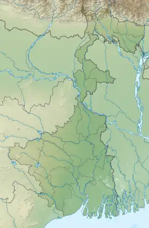
 Location of Mukutmanipur Dam in West Bengal | |
| Location | Bankura District, West Bengal, India |
| Coordinates | 22°57′50″N 86°47′20″E / 22.963949°N 86.788800°E |
| Dam and spillways | |
| Impounds | Kangsabati River |
| Length | 11,270 metres (36,980 ft) |
| Width (base) | 38 metres (125 ft) |
| Website www | |
The Mukutmanipur Dam is a dam in Khatra subdivision of Bankura district in the state of West Bengal, India.
The Kangsabati River (also variously known as the Kasai and kumari) rises from the Chota Nagpur Plateau in West Bengal, and passes through the districts of Purulia, Bankura and Paschim Medinipur district in West Bengal before draining in the Bay of Bengal, 2 kilometres (1.2 mi) from Mukutmonipur. It is the second longest earthen dam in India (11.27 km), next only to Sri Ram Sagar Project (SRSP) Telangana, with a gross storage capacity of 1.04 cubic kms (36.73 tmcft). It is the only dam that has been designated as 'Dam of national importance' from West Bengal by Central Water Commission of Government of India.
The road over the dam is 11 kilometres (6.8 mi) in length. In the middle, there is a small hillock called Paresnath hill where several statues of Jain and Hindu deities are kept in the open air. These statues were recovered during digging while the dam was built. There is another Jain statue lying at the bottom of the Pareshnath hill.[1]

Accessibility
There are many trains regularly available from Howrah railway station to Bankura Railway Station. Its about 233 kilometers from Howrah railway station. Then one has to take a bus from Bankura Railway Station, by bus it is 72 kilometers from there.
References
- ↑ "Mukutmanipur Dam latest update". Retrieved 18 August 2023.