| Mount Lazarev | |
|---|---|
| Гора Лазарева | |
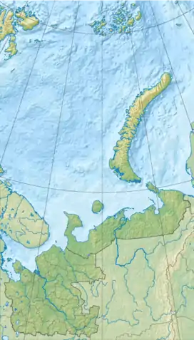
 Mount Lazarev Location in Arkhangelsk Oblast, Russia | |
| Highest point | |
| Elevation | 671 m (2,201 ft)[1] |
| Coordinates | 73°23′N 54°50′E / 73.383°N 54.833°E |
| Geography | |
| Location | Yuzhny Island, Novaya Zemlya, Arkhangelsk Oblast, Russia |
Mount Lazarev (Гора Лазарева, "Gora Lazareva") is a massif on the northern portion of Yuzhny Island, Novaya Zemlya, in Russia.[2] It was used for many Soviet nuclear tests, starting with the first underground nuclear test on Novaya Zemlya, 18 September 1964, which may have resulted in tired mountain syndrome.[3][4]
References
- ↑ "Gora Lazareva - Peak Visor". Retrieved 16 December 2021.
- ↑ NGIS geonames database Unique Feature Identifier=-2944482
- ↑ Khalturin, V. I.; Rautian, Tatyana G.; Richards, Paul G.; Leith, William S. (2005), "A Review of Nuclear Testing by the Soviet Union at Novaya Zemlya, 1955–1990", Science and Global Security, 13 (1–2): 1–42, Bibcode:2005S&GS...13....1K, doi:10.1080/08929880590961862, S2CID 122069080
- ↑ Matzko, John R. (1993), Physical Environment of the Underground Nuclear Test Site on Novaya Zemlya, Russia (PDF), United States Geological Survey, pp. 4, 8–10, 20, Open File Report 93-501
This article is issued from Wikipedia. The text is licensed under Creative Commons - Attribution - Sharealike. Additional terms may apply for the media files.