Mori Station 森駅 | |||||||||||||||
|---|---|---|---|---|---|---|---|---|---|---|---|---|---|---|---|
 Mori Station in September 2022 | |||||||||||||||
| General information | |||||||||||||||
| Location | Honcho, Mori-machi, Kayabe-gun, Hokkaido 049-2325 Japan | ||||||||||||||
| Operated by | |||||||||||||||
| Line(s) | ■ Hakodate Main Line | ||||||||||||||
| Platforms | 1 island + 1 side platform | ||||||||||||||
| Tracks | 3 | ||||||||||||||
| Construction | |||||||||||||||
| Structure type | At grade | ||||||||||||||
| Other information | |||||||||||||||
| Status | Staffed (Midori no Madoguchi) | ||||||||||||||
| Station code | H 62 | ||||||||||||||
| Website | Official website | ||||||||||||||
| History | |||||||||||||||
| Opened | 28 June 1903 | ||||||||||||||
| Passengers | |||||||||||||||
| 2019 | 277 daily | ||||||||||||||
| Services | |||||||||||||||
| |||||||||||||||
| Location | |||||||||||||||
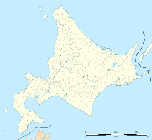
 Mori Station Location within Hokkaido  Mori Station Mori Station (Japan) | |||||||||||||||
Mori Station (森駅, Mori-eki) is a railway station on the Hakodate Main Line in Mori, Hokkaido, Japan, operated by the Hokkaido Railway Company (JR Hokkaido).
Lines
Mori Station is served by the Hakodate Main Line. Limited express Super Hokuto services operating between Sapporo and Hakodate stop here.
Station layout
The station has one island platform and one side platform serving a total of three tracks.
Platforms
| 1 | ■ Hakodate Main Line | for Oshamanbe and Sapporo |
| 2 | ■ Hakodate Main Line | (Not normally used) |
| 3 | ■ Hakodate Main Line | for Ōnuma-Kōen and Hakodate (via Komagatame) for Shikabe and Hakodate (via Oshima-Sawara) |
 The platforms in September 2022
Adjacent stations
| « | Service | » | ||
|---|---|---|---|---|
| Hakodate Main Line | ||||
| Komagatake | Local | Ishikura | ||
| Hakodate Main Line (Sawara Branch) | ||||
| Higashi-Mori | Local | Terminus | ||
History
The station opened on 28 June 1903.[1] With the privatization of Japanese National Railways (JNR) on 1 April 1987, the station came under the control of JR Hokkaido.[1]
Surrounding area
 National Route 5
- Uniushi Park
See also
References
External links
Wikimedia Commons has media related to Mori Station (Hokkaidō).
- Official website (in Japanese)
This article is issued from Wikipedia. The text is licensed under Creative Commons - Attribution - Sharealike. Additional terms may apply for the media files.