Ungheni | |
|---|---|
 Reformed church | |
 Coat of arms | |
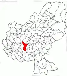
 Location in Mureș County | |
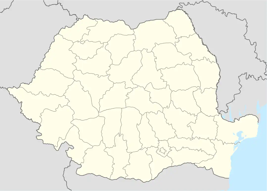
 Ungheni Location in Romania | |
| Coordinates: 46°29′9″N 24°27′39″E / 46.48583°N 24.46083°E | |
| Country | Romania |
| County | Mureș |
| Government | |
| • Mayor (2020–2024) | Victor Prodan[1] (PNL) |
| Area | 63.69 km2 (24.59 sq mi) |
| Elevation | 296 m (971 ft) |
| Population (2021-12-01)[2] | 7,007 |
| • Density | 110/km2 (280/sq mi) |
| Time zone | EET/EEST (UTC+2/+3) |
| Postal code | 547605 |
| Area code | (+40) 02 65 |
| Vehicle reg. | MS |
| Website | www |
Ungheni (Hungarian: Nyárádtő [ˈɲaːraːttøː]; German: Nyaradfluß) is a town in Mureș County, in Transylvania, Romania. Until 1925 its Romanian name was Nirașteu. Six villages are administered by the town: Cerghid (Nagycserged), Cerghizel (Kiscserged), Morești (Malomfalva), Recea (Recsa), Șăușa (Sóspatak), and Vidrasău (Vidrátszeg).
Location
Ungheni is situated 10.6 kilometres (6.6 mi) from the county capital Târgu Mureș, 42.2 kilometres (26.2 mi) from Reghin, and 99.6 kilometres (61.9 mi) from Cluj-Napoca. The Târgu Mureș International Airport is located in Vidrasău, 14 kilometres (8.7 mi) southwest of the county capital.
The town is bordered by the following communes: to the north by Band and Pănet, to the south by Suplac and Mica, to the east by Cristești, and to the west by Sânpaul. It is crossed by the A3 motorway, which runs from Bucharest to the Hungarian border near Oradea.
Demographics
| Year | Pop. | ±% |
|---|---|---|
| 2002 | 6,554 | — |
| 2011 | 6,945 | +6.0% |
| 2021 | 7,007 | +0.9% |
| Source: Census data | ||
At the 2021 census, Ungheni had a population of 7,007. At the 2011 census, the town has a population of 6,945; of those, 5,053 (76.3%) were Romanians, 984 (14.85%) Roma, 576 (8.69%) Hungarians, and 4 (0.06%) others.
Natives
- Erasmus Julius Nyárády (1881–1966), botanist
See also
References
- ↑ "Results of the 2020 local elections". Central Electoral Bureau. Retrieved 11 June 2021.
- ↑ "Populaţia rezidentă după grupa de vârstă, pe județe și municipii, orașe, comune, la 1 decembrie 2021" (XLS). National Institute of Statistics.


