Meekers Grove, Wisconsin | |
|---|---|
 Meekers Grove  Meekers Grove | |
| Coordinates: 42°38′44″N 90°22′10″W / 42.64556°N 90.36944°W | |
| Country | |
| State | |
| County | Lafayette |
| Town | Elk Grove |
| Elevation | 296 m (971 ft) |
| Time zone | UTC-6 (Central (CST)) |
| • Summer (DST) | UTC-5 (CDT) |
| Area code | 608 |
| GNIS feature ID | 1577722[1] |
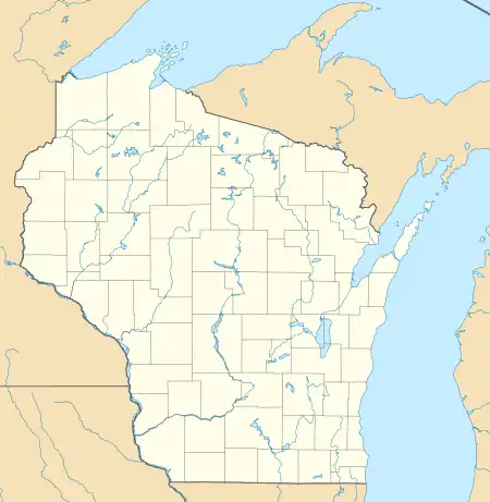
Meekers Grove is an unincorporated community located in the town of Elk Grove, Lafayette County, Wisconsin, United States.[1] It consists of a grouping of 2 houses, a One-room school that caught fire and was demolished in 2000, and nearby farms.
Attractions
Red's Supper Club[2] stands at the intersection of County H and State Road 81, approximately 1 mile north of Meeker's Grove.
St. Peter's Catholic Church stands at 26203 St. Peters Road.[3]
There is an abandoned rock quarry on Red School Road near the Madden Branch of the Galena River (Illinois),[4] approximately 1 mile east of Meeker's Grove.
History
There used to be a One-room school located at the address 10487 County H (at the intersection of County H and Red School Road) but it was struck by lightning and caught fire in 2000 and was demolished shortly thereafter. You can still see playground equipment and a small parking lot at the location today.[5] This school, painted red, was the namesake for Red School Road.
Notes
- 1 2 "Meekers Grove, Wisconsin". Geographic Names Information System. United States Geological Survey, United States Department of the Interior.
- ↑ "Red's Supper Club | Travel Wisconsin". TravelWisconsin. Retrieved March 12, 2021.
- ↑ "Google Maps". Google Maps. Retrieved March 12, 2021.
- ↑ "42°38'36.8"N 90°20'35.5"W". 42°38'36.8"N 90°20'35.5"W. Retrieved March 12, 2021.
- ↑ "Google Maps". Google Maps. Retrieved March 12, 2021.
