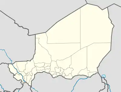
Matameye | |
|---|---|
Commune and town | |
 Matameye Location in Niger | |
| Coordinates: 13°24′00″N 8°36′00″E / 13.40000°N 8.60000°E | |
| Country | |
| Region | Zinder |
| Department | Matameye |
| Elevation | 422 m (1,385 ft) |
| Population (2011) | |
| • Total | 58,025 |
| • Summer (DST) | UTC+1 (WAT) |
Matameye is a town and urban commune, administrative centre of the Matameye Department in Niger, with a population of 17,930 as of 2001.[1] In 2005 a road was completed from Matameye to Takieta.[2] Since 2011 many people have moved to Matameye from Tânout and Gouré because of the food crisis, in search for better harvests, abandoning their homes and schools.[3]
References
- ↑ Population figures from citypopulation.de, citing (2001) Institut National de la Statistique du Niger.
- ↑ Niger Poverty Reduction Strategy Paper - 2005 Status Report. Washington, DC: International Monetary Fund (IMF), 2007. Print. Staff Country Reports.
- ↑ Maâzou, Souleymane. "Food Crisis Empties Niger Schools." Food Crisis Empties Niger Schools. Inter Press Service News Agency, 20 June 2012. Web. 1 January 2015.
This article is issued from Wikipedia. The text is licensed under Creative Commons - Attribution - Sharealike. Additional terms may apply for the media files.